
Dauphin Island Ozone ExperimentSituated on Dauphin Island, a 3-day pilot project aimed at documenting ozone and related boundary layer (BL) variability within the coastal zone was conducted during the Summer of 2022. In addition to the scientific goals mentioned, the project was also focused on field testing the new UAH/NASA RO3QET. To assist with this mission, the MoDLS Doppler lidar was used in conjunction with the RO3QET ozone lidar to document the BL variability. The experiment was a success, with substantial variations in ozone recorded around Dauphin Island. During this mission, flights were conducted over the island and coast to document ozone and PM2.5 measurements, as well as validate the lidars. The data collected show significant variability between land and sea. Documentation of ozone aerosol content using the RO3QET showed strong correlation with wind measurements from the MoDLS Doppler lidar. Overall, the project was successful in providing a rich dataset for aerosol variability along a coastal region in addition to displaying the flexibility the MAPNet instruments can provide. This experiment engaged 7 students, providing them with a unique opportunity to gain hands-on experience deploying and using several types of ground-based remote sensors. 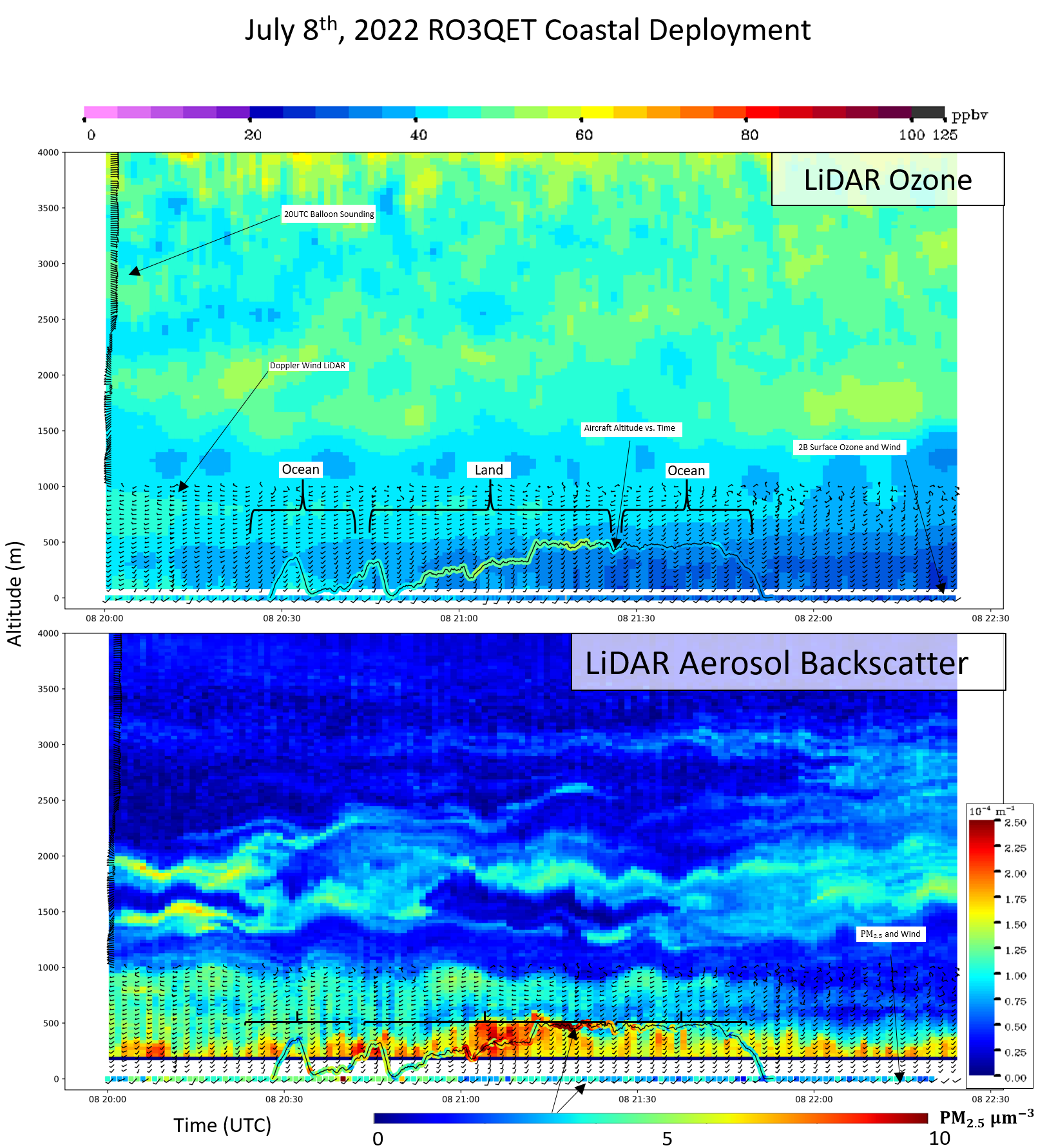
Doppler lidar winds overlaid on DIAL lidar backscatter and ozone profiles. Aircraft flight altitude and aircraft-measured ozone are also displayd in the plot. |
Educational Deployments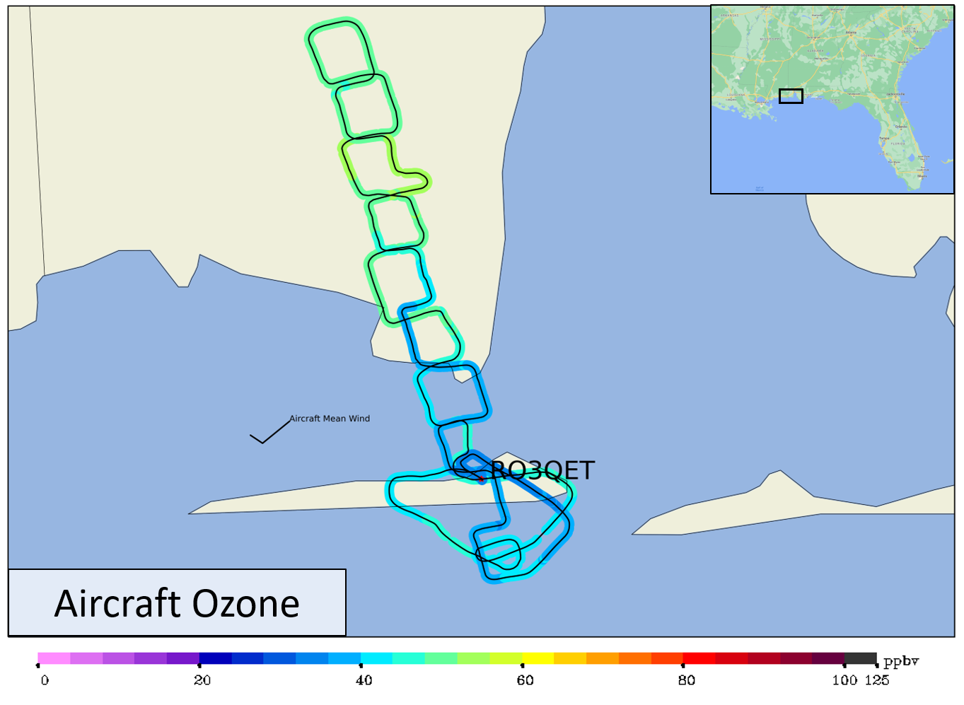
Aircraft measurements taken at xx m AGL of ozone. The flight shows high resolution variability of ozone from sea to land. 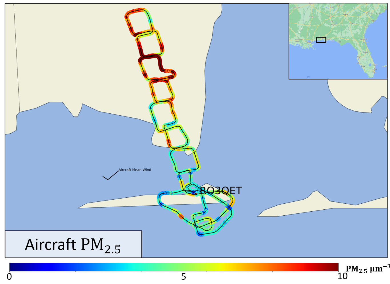
Aircraft measurements taken at xx m AGL of PM2.5. The flight shows high resolution variability of PM2.5 from sea to land. 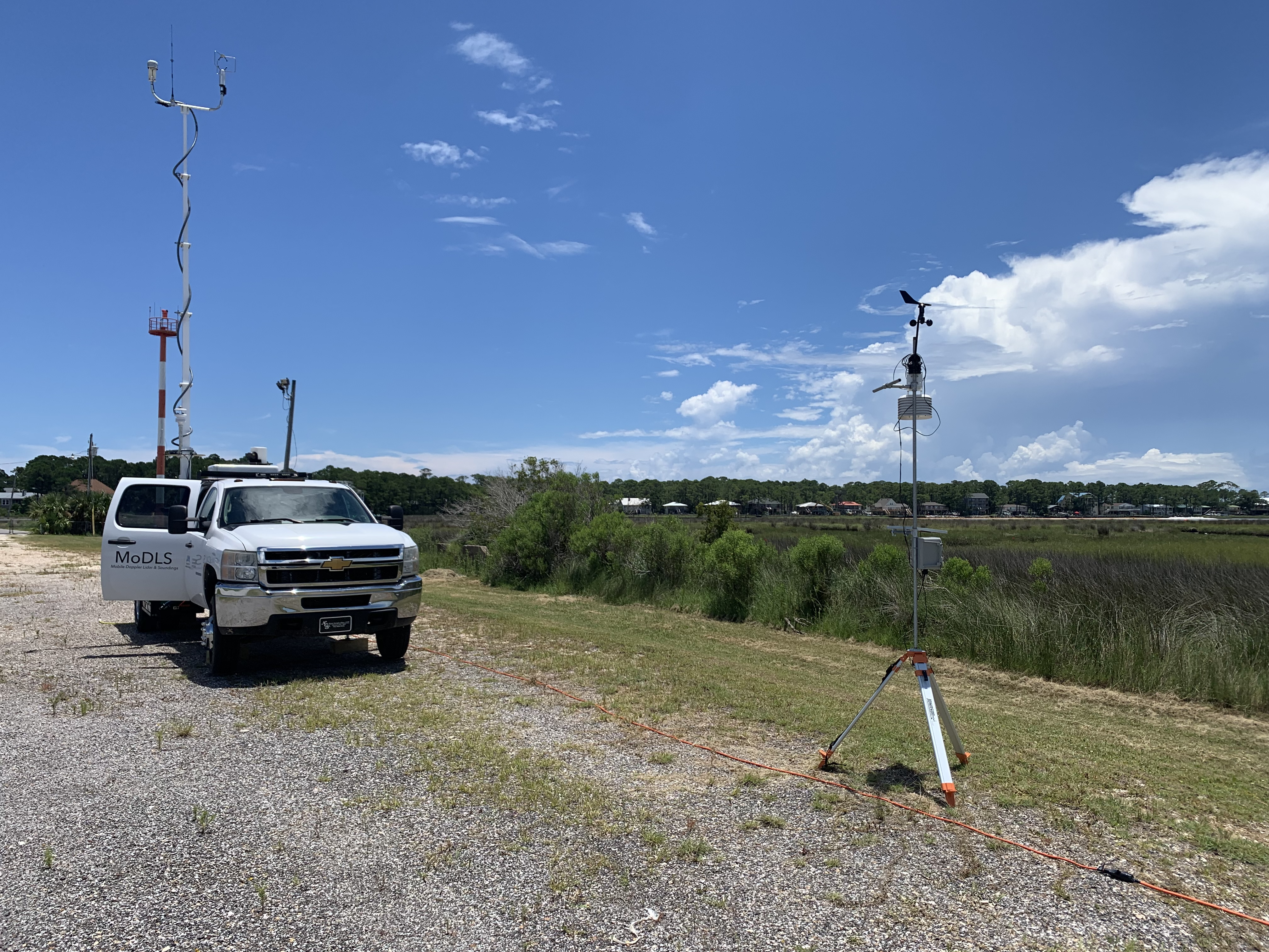
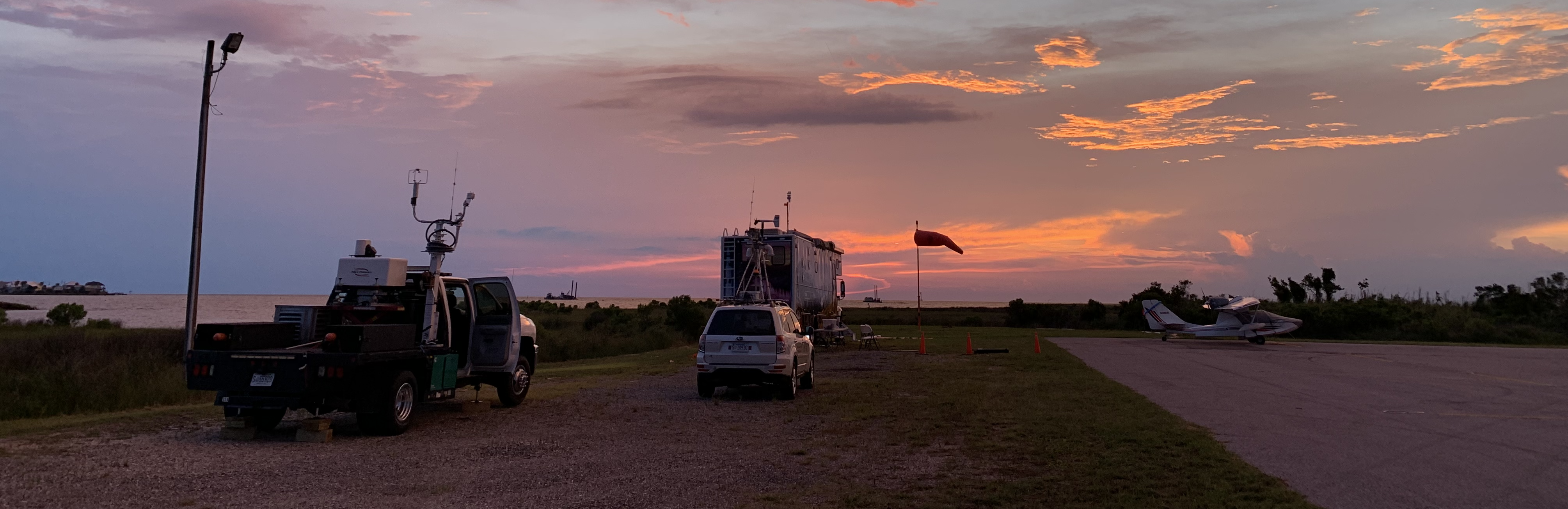
MoDLS deployed and operating. |