PERiLS - Propagation, Evolution, and Rotation in Linear Storms
Starting in the Spring of 2022, PERiLS is slated to be one of the largest and most comprehensive severe storm field campaigns to date. Striving to understand the complex environmental characteristics surrounding Quasi-Linear Convective Systems (QLCSs) within the Southeast US, PERiLS will involve researchers from 12 different research institutions and span from Missouri to the foothills of the Appalachian Mountains.
MAPNet Role
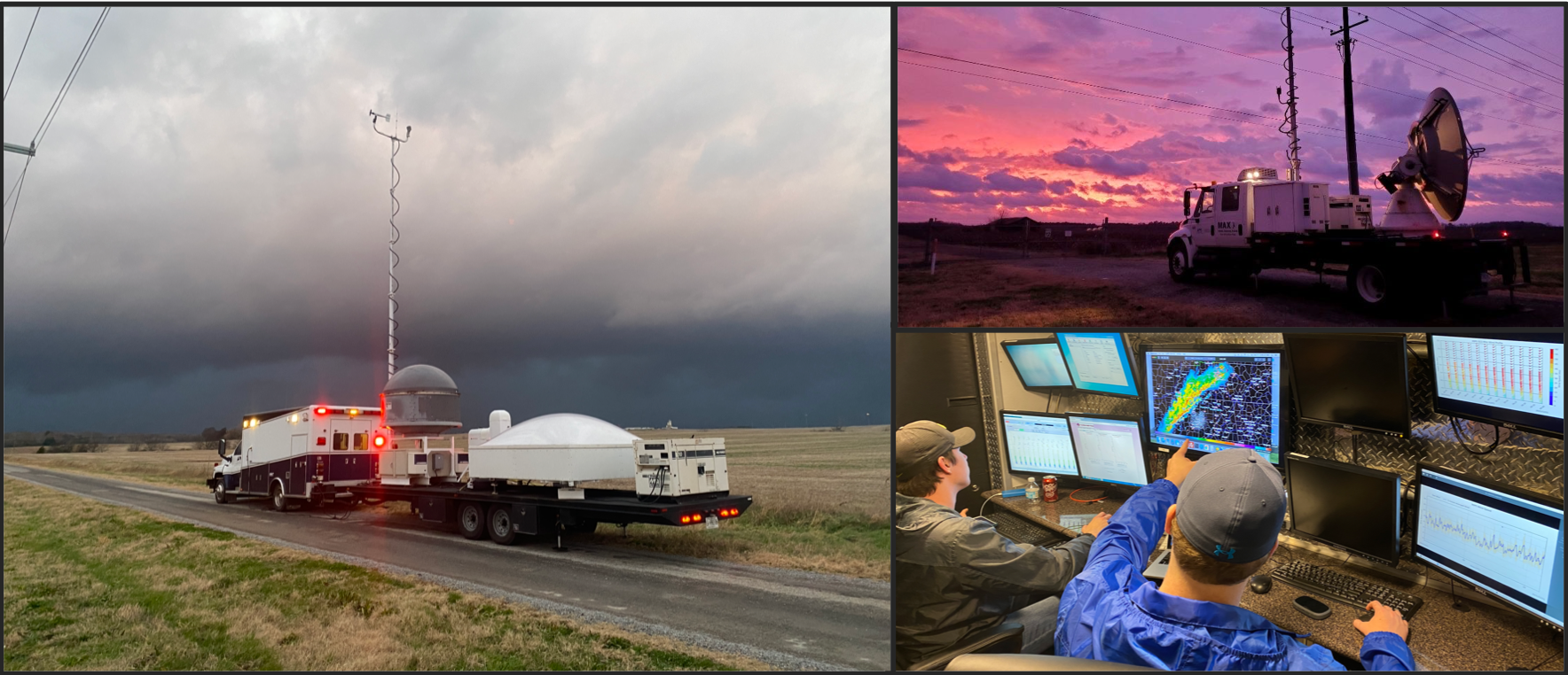
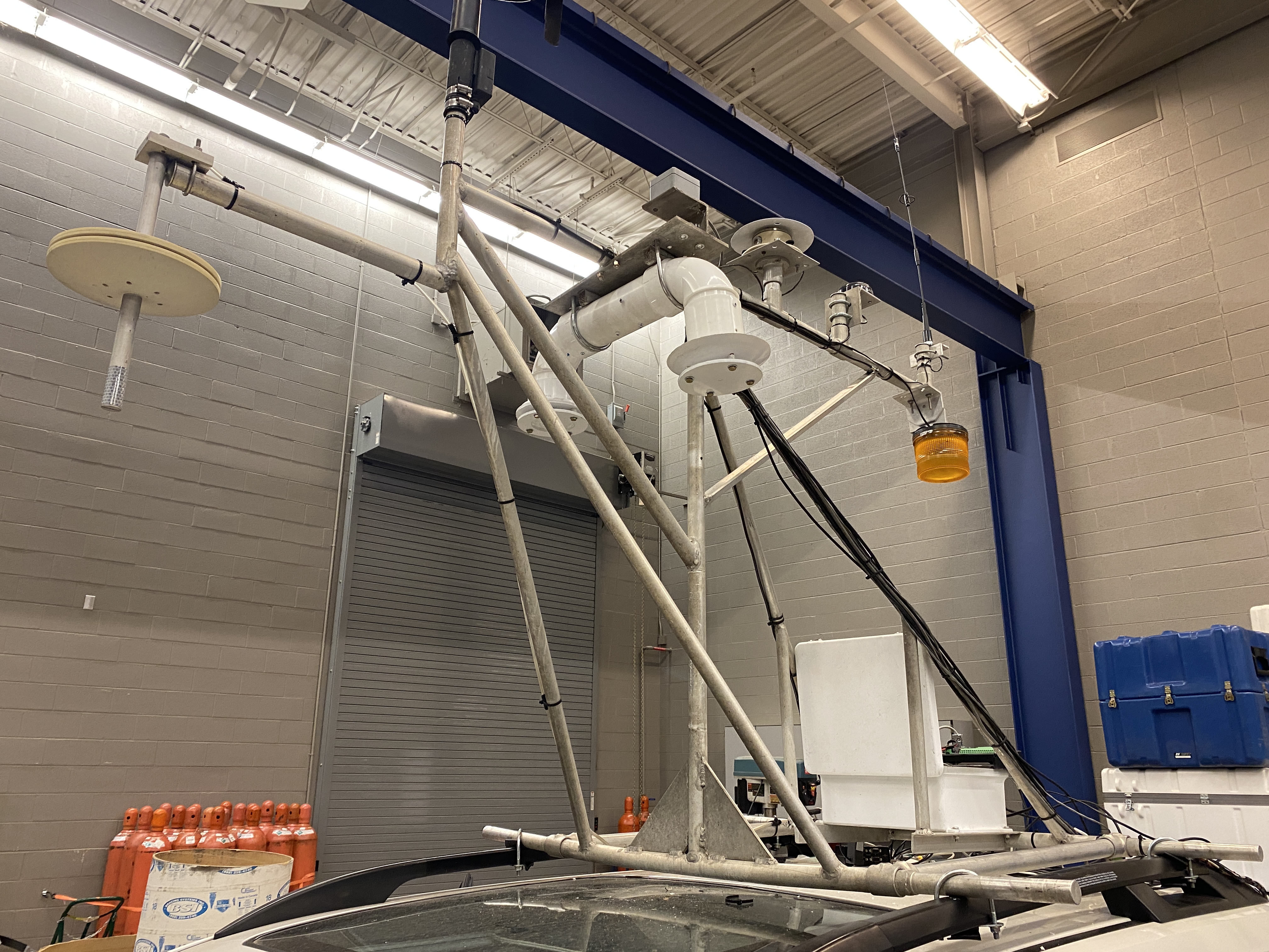
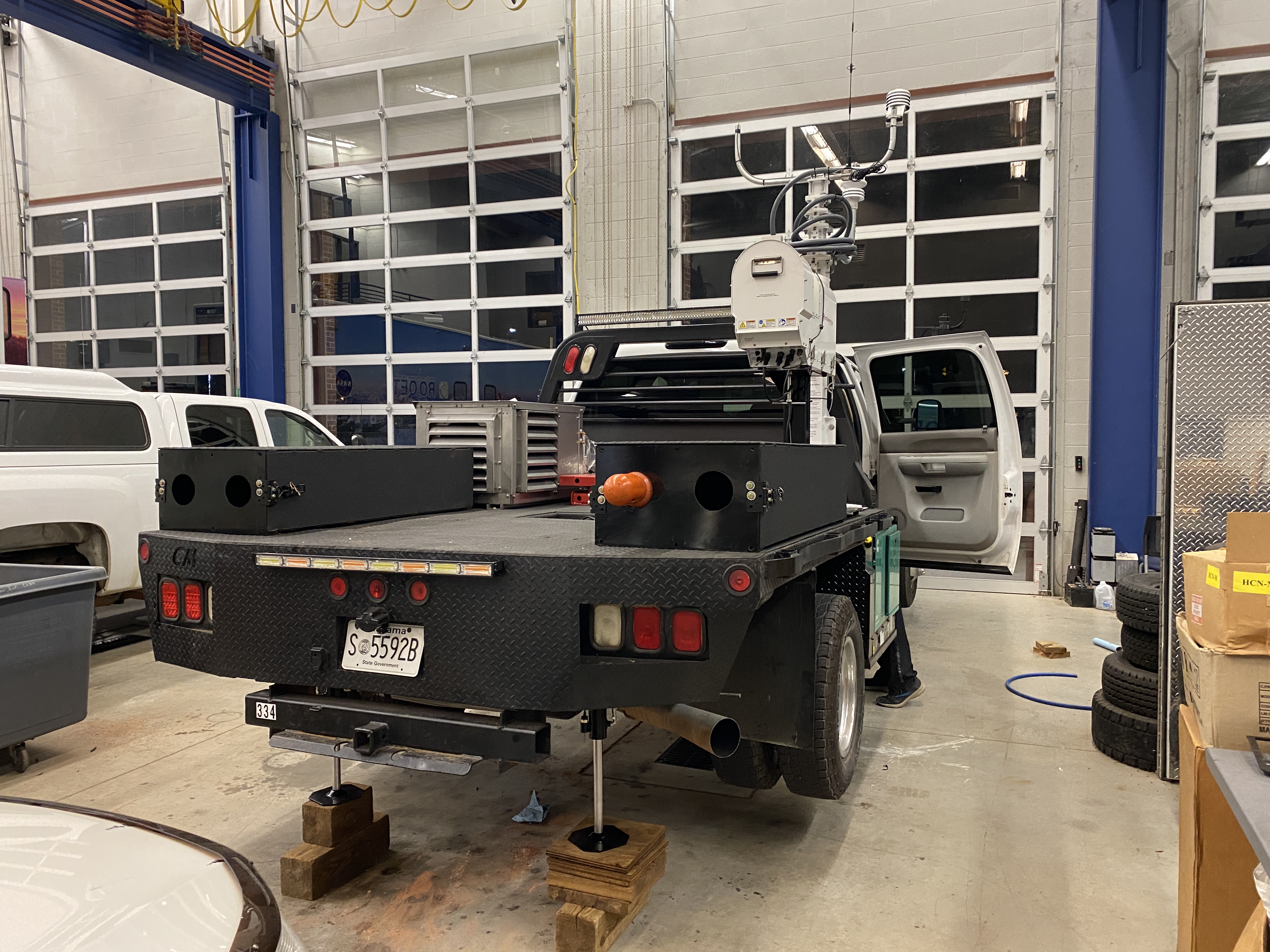
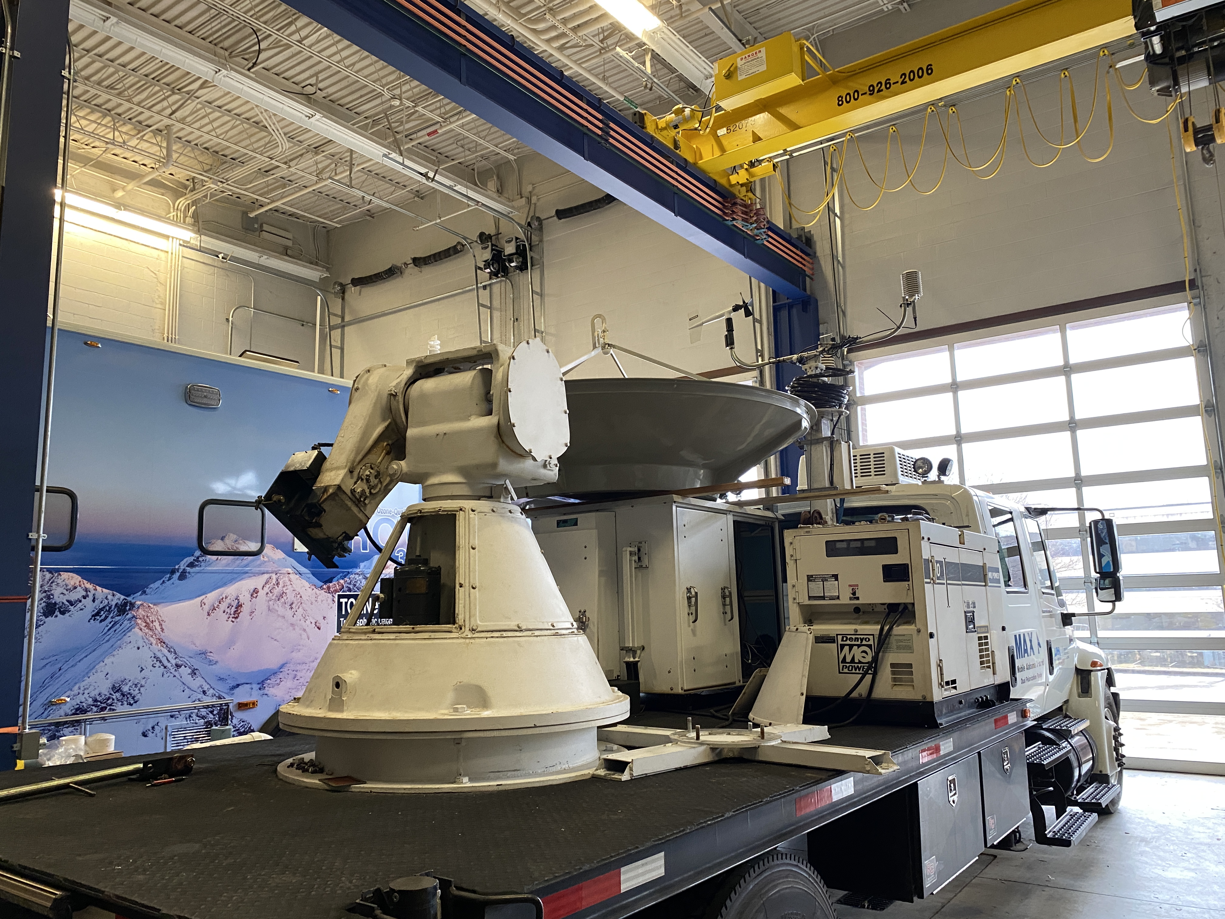
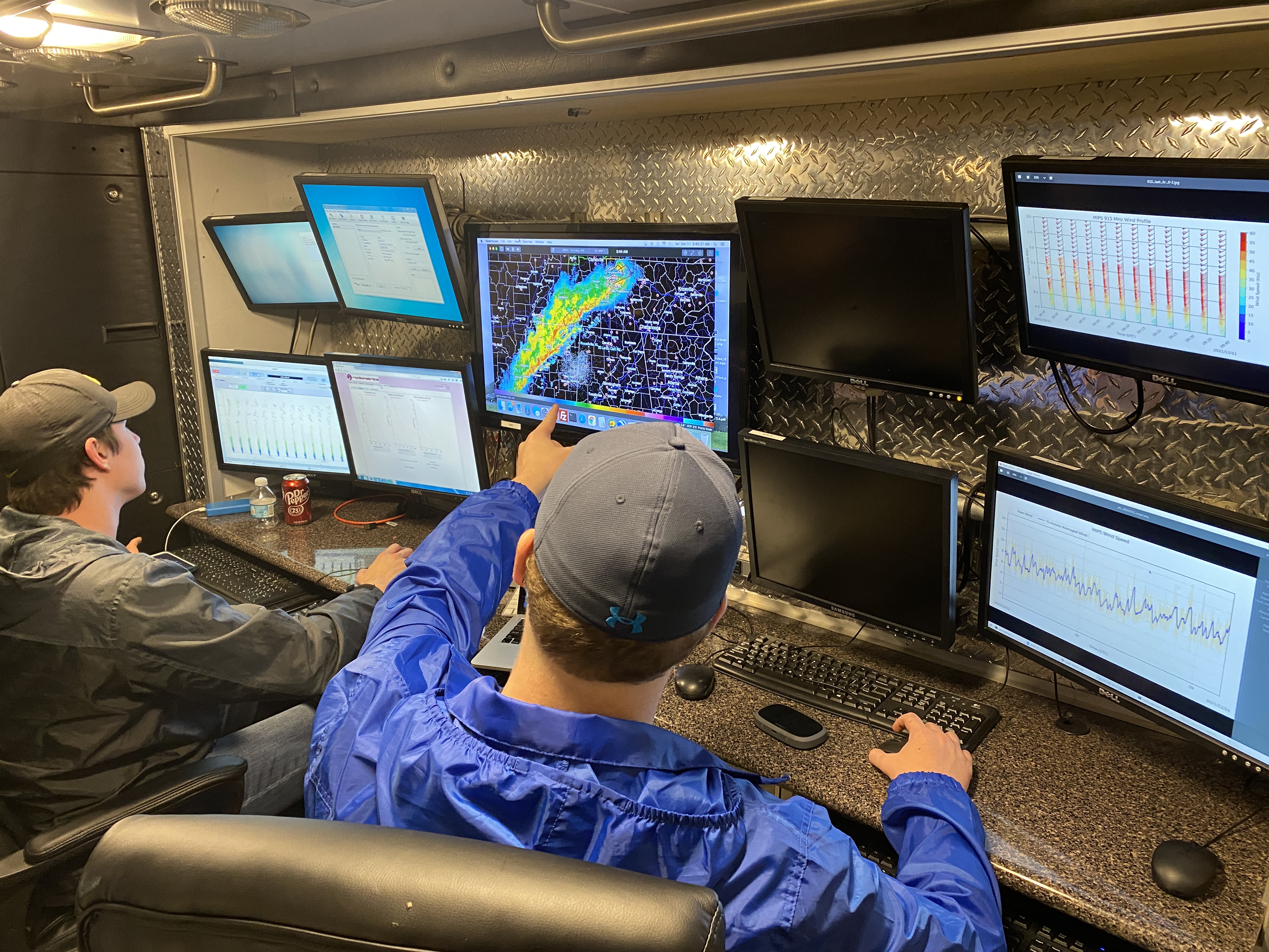
To document and characterize high spatial and temporal resolution near-storm environments of tornadic QLCSs, a high-density network of mobile atmospheric profilers, mobile radars, radiosonde soundings, and in-situ sensors are needed. Made possible with funding provided by NOAA, the MAPNet platforms will be an instrumental part of these networks.
-
Wind Profiling
The MAPNet radar wind profilers and Doppler sodars onboard the MIPS and RaDAPS platforms will coordinate with five other 915 MHz radar wind profilers (4 provided by NOAA PSL and one from UIUC). In conjunction with these profilers, the MoDLS Doppler Wind Lidar (DWL) will join four other mobile Doppler lidars (2 from NOAA NSSL, one from OU, and one from ULM).
-
Thermodynamics
In addition to 18 radiosonde sounding systems (4 from MAPNet) that will be deployed during each intensive observation period (IOP), microwave profiling radiometers (MPRs) onboard the MAPNet MIPS, MoDLS, and RaDAPS will be deployed to study boundary layer (BL) thermodynamics. NOAA PSL will provide five radio acoustic sounding systems (RASS) with their wind profilers as well as two Atmospheric Emitted Radiance Interferometers (AERI) and microwave radiometers onboard the NSSL and OU CLAMPS systems. With these high resolution remotely sensed and radiosonde thermodynamic data, the near-storm thermodynamics, such as static stability, can be assessed in great detail to help dissect tornadic vs non-tornadic storms.
-
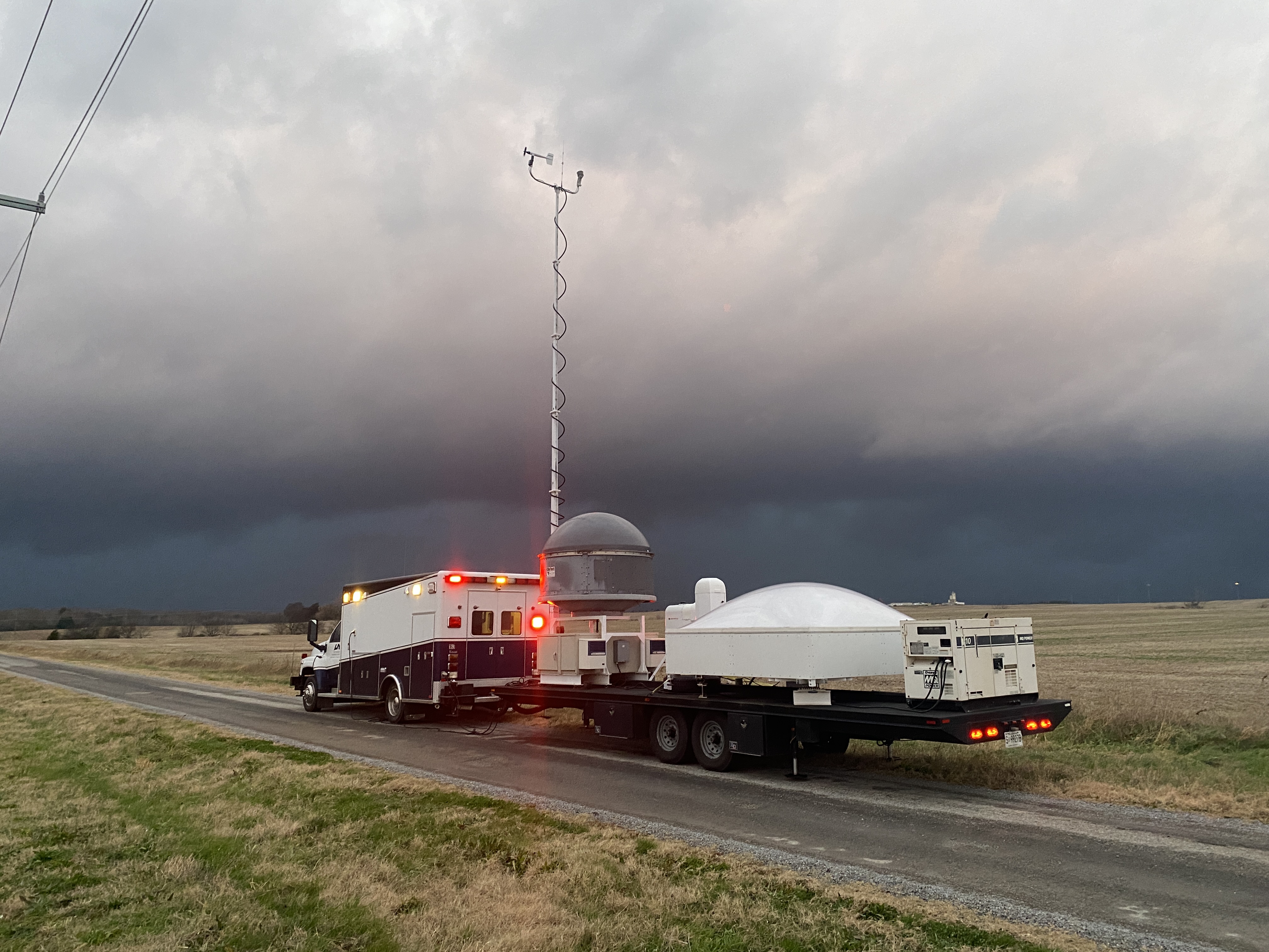
Mobile Radar
With a total of eight mobile radars, MAX will take part in one of the most comprehensive mobile radar networks in a field campaign. Densely packed mobile radars will provide many multiple Doppler networks in an effort to gather high resolution storm kinematics and microphysics. Not only will these radars document close-proximity storm information, but they will also serve as wind profilers. Using the VAD technique, these mobile radars, including the MAX radar, will be relied on to provide high spatiotemporal resolution wind profiles within the BL.
-
In-Situ Measurements
Surface measurements are vital to understanding and documenting the BL in and around the storm environment. Surface data from all four MAPNet platforms and the Mobile Meteorological Mesonet Vehicle (M3V) will be combined with six other mobile mesonet vehicles and 44 portable surface measurements sites to document the surface layer of sever storm environments. In addition to typical surface measurements (temperature, relative humidity, wind, and pressure), disdrometers will also be deployed by MAPNet and Purdue to measure drop side distributions and drop characteristics.
|
Resarch Areas
PERiLS will focus on 3 main goals that will hope to improve knowledge and forecasting of tornadoes and other hazards in the Southeast US:
- Improve knowledge of the spatiotemporal variability of BL kinematics and thermodynamics in the near-storm environment.
- Improve understanding of the convective regions of QLCSs, including updraft kinematics, and the structure and evolution of mesovortices.
- Collect high spatiotemporal resolution data on vertical profiles of wind and thermodynamics within the QLCS environment.
The research conducted by MAPNet researchers and students will help achieve the above research areas in several ways:
- Kinematic and thermodynamic variability in the near-storm environment
- BL changes during the Afternoon to Evening Transition (AET)
- BL changes during the rain induced transition
- Analysis of updraft/downdraft structure with vertically pointing radar
- Dual-Doppler analysis
- QLCS propagation
- Wind profiler intercomparison
PERiLS operational domain during IOP 1.
Project Prep
Partners
- National Science Foundation (NSF)
- NOAA Nation Severe Storms Laboratory (NSSL)
- NOAA Physical Sciences Laboratory (PSL)
- NOAA Global Systems Laboratory (GSL)
- University of Oklahoma
- University of Alabama, Huntsville
- University of Louisiana, Monroe
- Purdue University
- Texas Tech University
- Pennsylvania State University
- SUNY Stony Brook
- University of Illinois, Urbana-Champaign
- North Carolina State
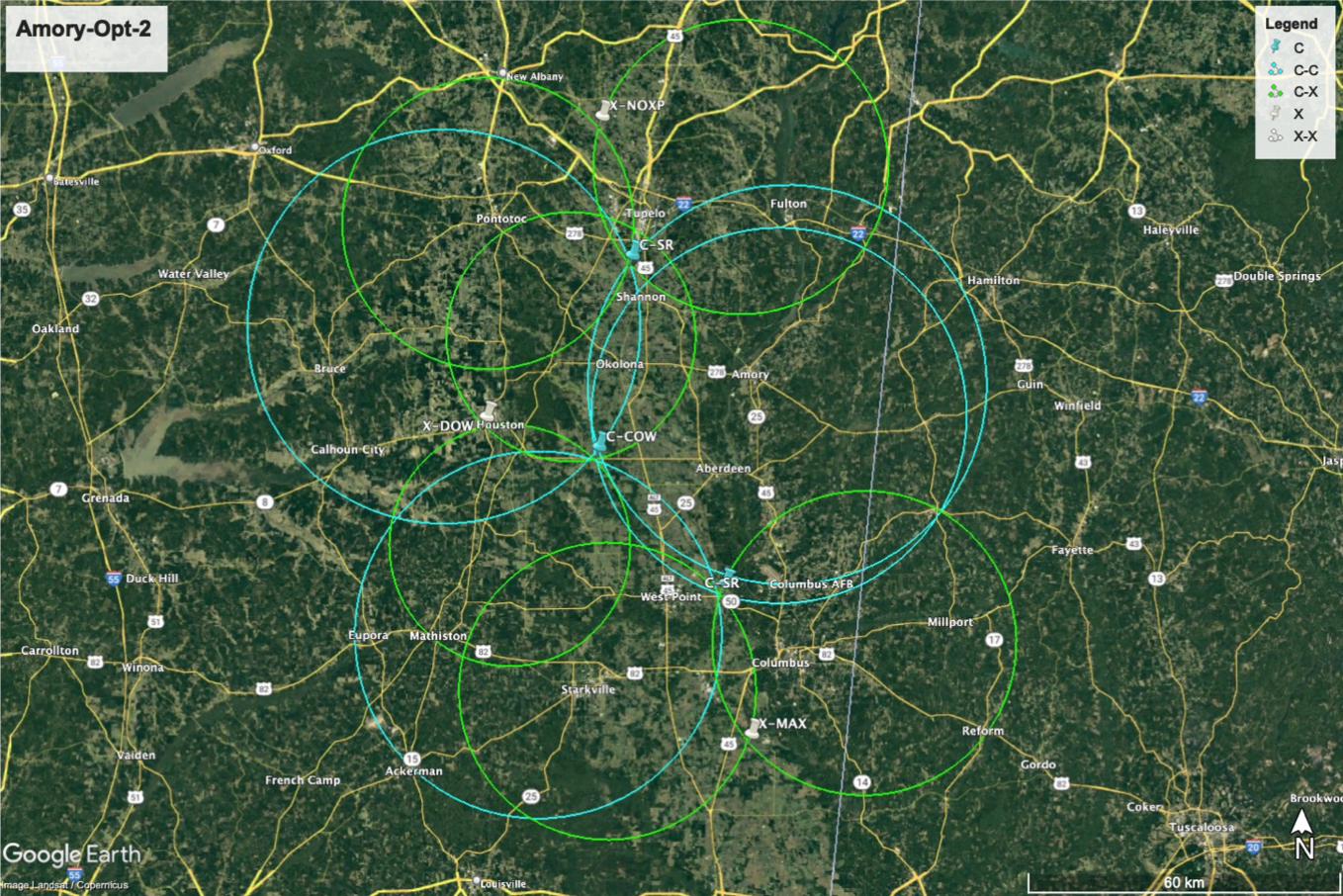
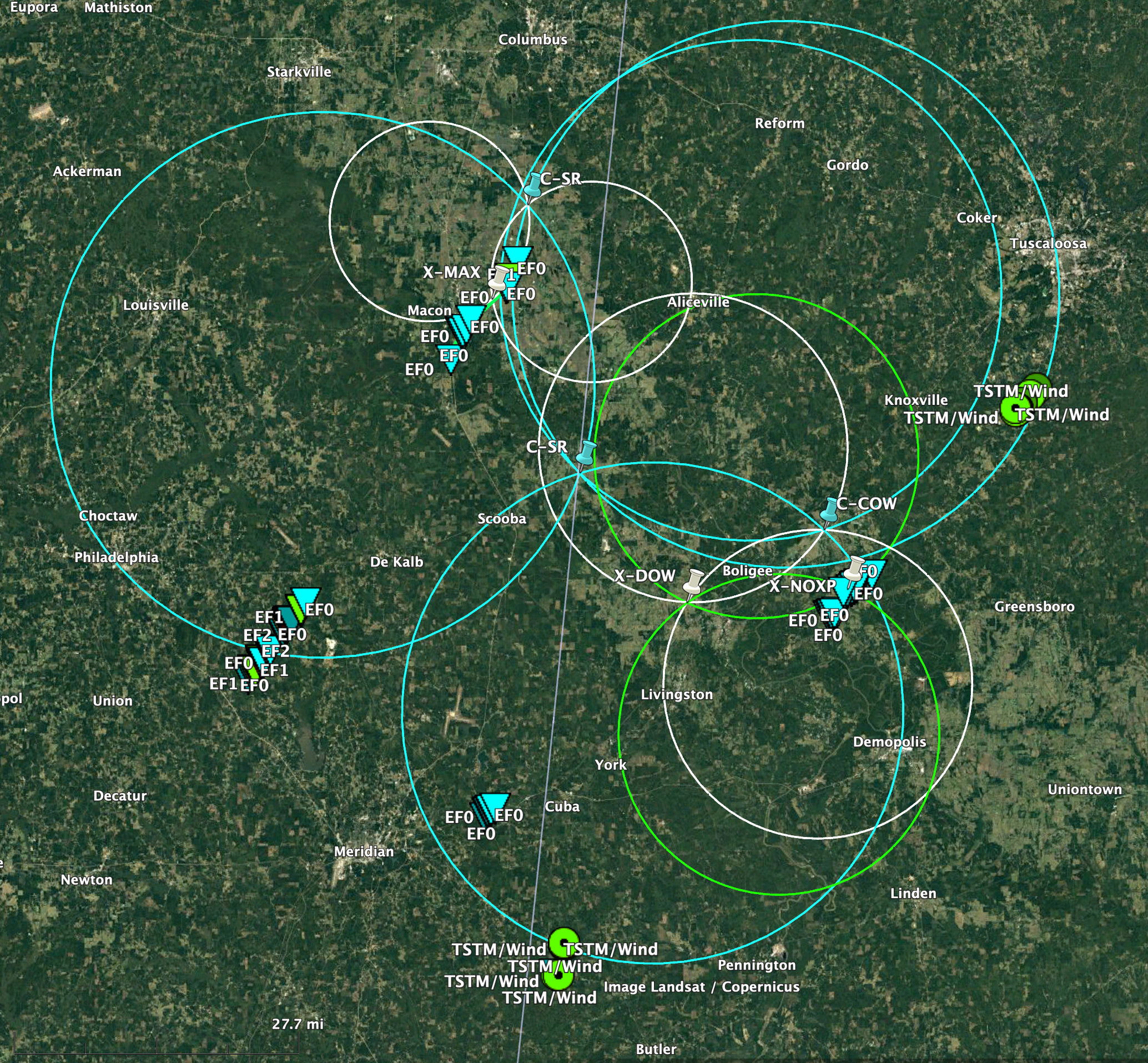
An example of a PERiLS dual Doppler network which includes the MAPNet MAX radar.
Related Links
|
×
1 / 2
An example of a PERiLS dual Doppler network which includes the MAPNet MAX radar.
2 / 2
PERiLS operational domain during IOP 1.