|
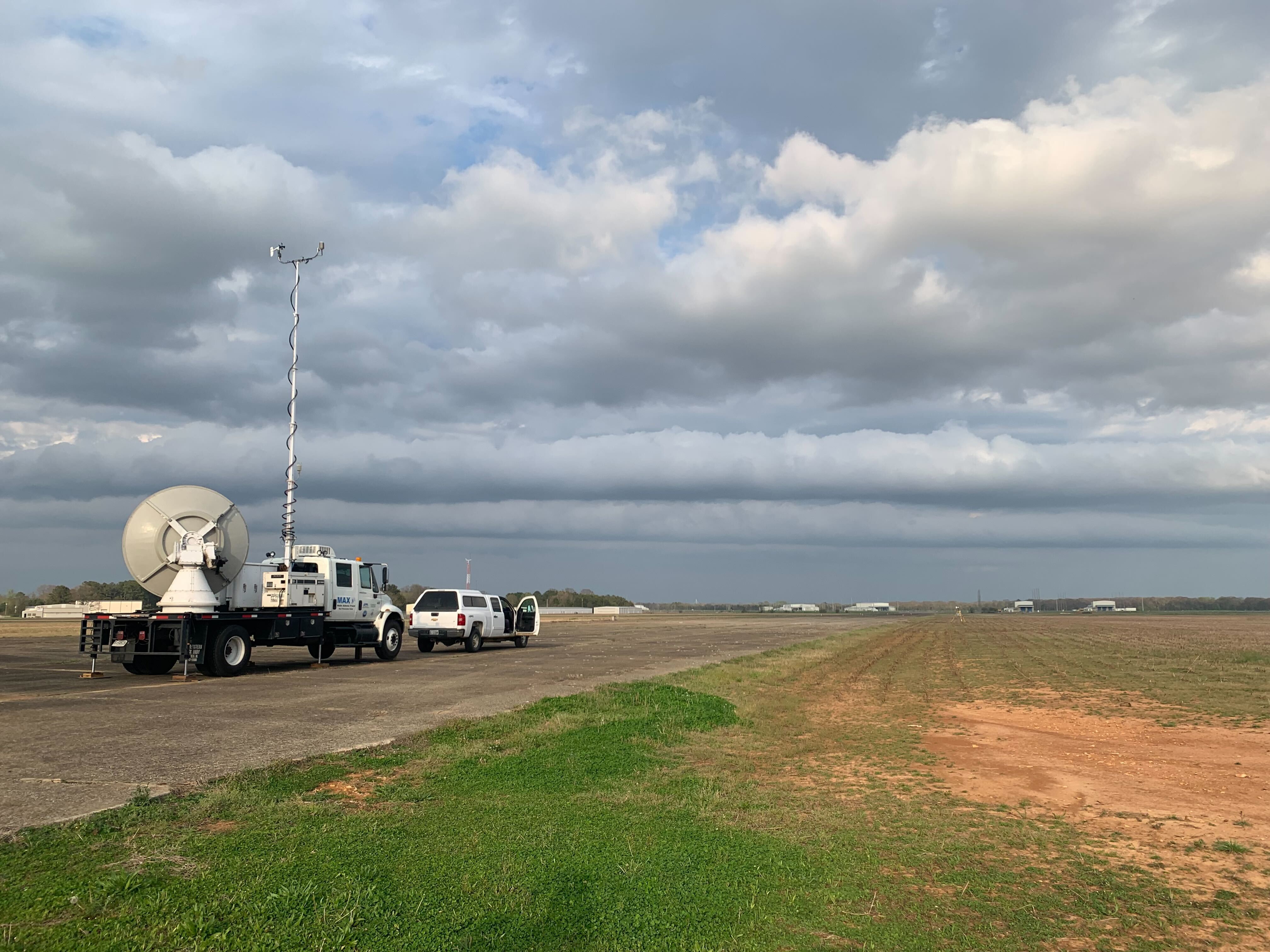
The MAPNet instrumentation has participated in a wide range of field campaigns over the years. These campaigns have ranged from tropical cyclone research, tornado research, to lake effect snow. With a breadth of instruments designed to probe the atmospheric boundary layer, MAPNet has extensive capabilities to participate in a range of field campaigns. DELTA: Detecting and Evaluating Low-level Tornado Attributes (2024)DELTA (Detecting and Evaluating Low-level Tornado Attributes) is a NOAA campaign that takes many of the assets from the PERiLS campaigns to examine three overarching storm modes QLCSs (Quasi-Linear Convective Systems), supercells, and supercell/QLCS mixed mode in the southeastern United States. More PERiLS: Propagation, Evolution, and Rotation in Linear Storms (2022 - 2023)PERiLS used a sweeping array of instruments in an effort to better understand how tornadoes form in squall lines. These types of tornadoes, more common in the southeast United States, pose a significant challenge to meteorologists and emergency managers, due to their rapid development. All 4 MAPNet assets were used for this campaign. More VORTEX-SE: Verification of the Origins of Rotation in Tornadoes Experiment - Southeast (2015 - Present)The VORTEX-SE project began in 2015 as an effort to understand how environmental factors characteristic of the Southeast affect the formation, intensity, structure, and path of tornadoes in this region. The experiment will also determine the best methods for communicating the forecast uncertainty related to these events to the public. All 4 MAPNet assets were used for this campaign. More PECAN: Plains Elevated Convection at Night (2015)The PECAN campaign was envisioned as a multi-agency project (NSF, NOAA, NASA, DOE) designed to advance the understanding of continental, nocturnal, warm-season precipitation. PECAN was focused on nocturnal convection in conditions over the Southern Great Plains with a stable boundary layer (SBL), a nocturnal low-level jet (NLLJ) and the largest CAPE (Convectively Available Potential Energy) located above the SBL. PECAN involved the MIPS, MAX, and MoDLS platforms. This field campaign was the conception of MoDLS which comprised of the Doppler lidar and a sounding system. More OWLeS: Ontario Winter Lake-effect Systems (2013-2014)The OWLeS project was conducted during December 2013 through January 2014. The OWLeS project examined the formation mechanisms, cloud microphysics, boundary layer processes and dynamics of lake-effect systems (LeS) using new observational tools capable of detailing LeS characteristics not observed in previous LeS field experiments. This project invlolved MIPS and MAPNet's Doppler lidar. More PlOWS: Profiling of Winter Storms (2009 - 2010)The PLOWS field program is focused on obtaining a greater understanding of the mesoscale structure and dynamics of cyclonic weather systems and the improvement of 0-48 hr cool season quantitative precipitation forecasts. PlOWS utilized the MIPS and MAX platforms. This was the first full-scale field campaign the MAX participated in. More THOR: The UAH Tornado and Hazardous weather Observations and Research Center (2007 - 2009)THOR, located at the National Space Science and Technology Center (NSSTC) in Huntsville, Alabama was created in 2006 in order to focus hydrometeorological research activities on severe and hazardous weather phenomena in the southeastern U.S. Specific topics of research included: (a) tornadoes and damaging winds within supercell storms, quasi-linear convective systems and landfalling tropical cyclones, (b) relationships between total lighting and severe weather, (c) nowcasting of convective initiation and lightning initiation, and (d) quantitative precipitation estimation using a combined sensor approach. THOR involved the MIPS and MAX. More MIRAGE-Mex: Megacities Impact on Regional and Global Environment - Mexico (2006)The MIRAGE-Mex field campaign (March 2006) was designed to examine the chemical and physical transformations of gases and aerosols in the polluted outflow from Mexico City. The MIPS 915 MHz radar wind profiler was used for this campaign. More BAMEx: Bow Echo and MCV Experiment (2003)The Bow Echo and MCV Experiment (BAMEX) utilized a variety of mobile platforms to examine the life cycles of Mesoscale Convective Systems (MCS). In particular the study was focused on two types of events, bow echoes that produce damaging surface winds and last at least for four hours and larger convective systems that produce long-lived mesoscale convective vorticies (MCVs). MCVs can provide a focus for the development of new convection and thus play a key role in multi-day convective events that can affect areas larger than 1000 km in length with heavy and even flooding rains. The MIPS and UAH's mobile mesonet vehicle (M3V) was used for this campaign. More ABIDE: Atmospheric Boundary Identification and Delineation Experiment (2002 - 2012)ABIDE was a long-term experiment centered around North Alabama designed to examine the detailed structure and evolution of boundaries and other convergent phenomena in the boundary layer. Awarded by the National Science Foundation, this project utilized the MIPS, MAX, and UAH’s ARMOR radar to probe the atmospheric boundary layer. IHOP (International H2O Project)The International H2O Project was a field experiment that took place over the Southern Great Plains of the United States from 13 May to 25 June 2002. The chief aim of IHOP_2002 was improved characterization of the four-dimensional (4-D) distribution of water vapor and its application to improving the understanding and prediction of convection. More CAMEx-4 (Convection And Moisture EXperiment)CAMEX-4 is focused on the study of tropical cyclone (hurricane) development, tracking, intensification, and landfalling impacts using NASA-funded aircraft and surface remote sensing instrumentation. More TexAQS: Texas Air Quality Study (2000)The study was designed to improve understanding of the factors that control the formation and transport of air pollutants along the Gulf Coast of southeastern Texas. This study utilized the MIPS 915 MHz radar wind profiler. HAL: Hurricanes At Landfall (1998)The Hurricanes at Landfall was a NOAA-funded program designed to enhance the ability to diagnose and predict the impact of tropical cyclones (TC) on life and property through wind, rain, waves, and storm surge. More |
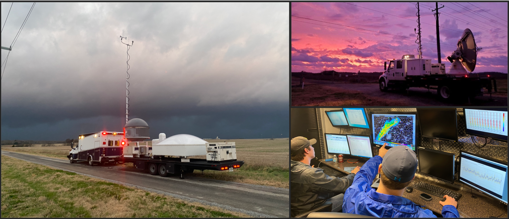
MAPNet's MAX deployed scanning a gust front while deployed for a PERiLS project 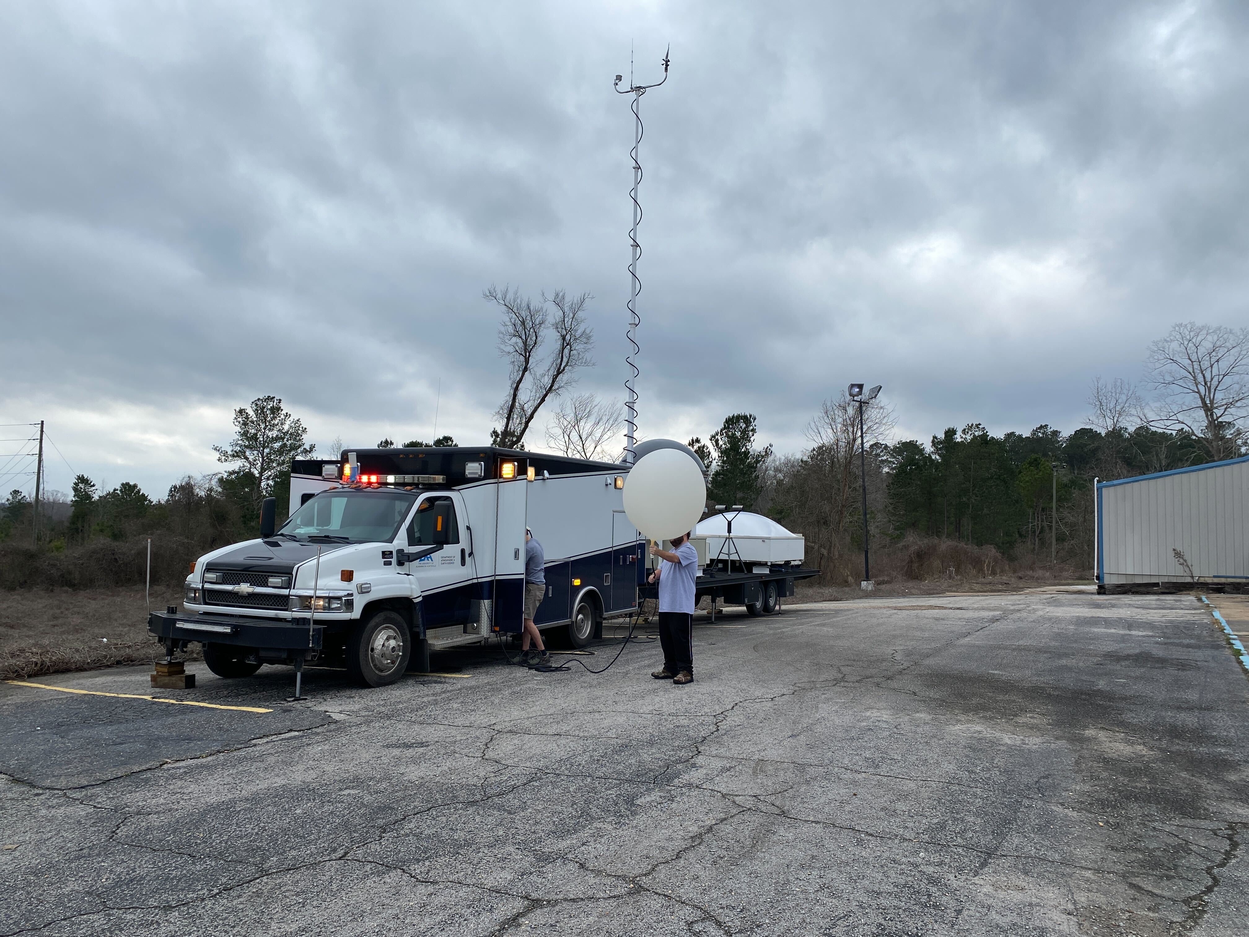
A radiosonde sounding being prepped outside of MIPS 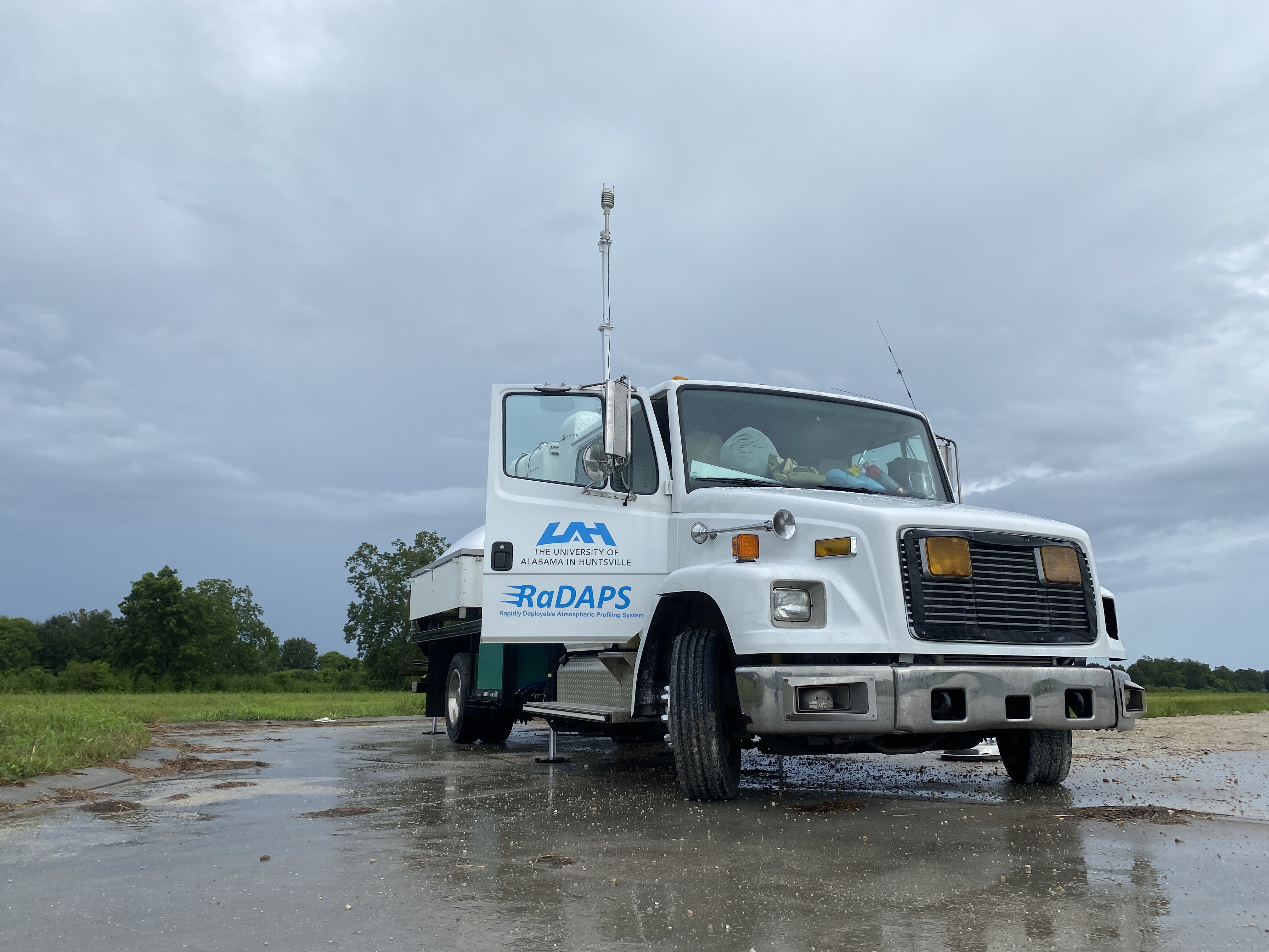
The MAPNet RaDAPS deployed for the landfall of Hurricane Ida 2021 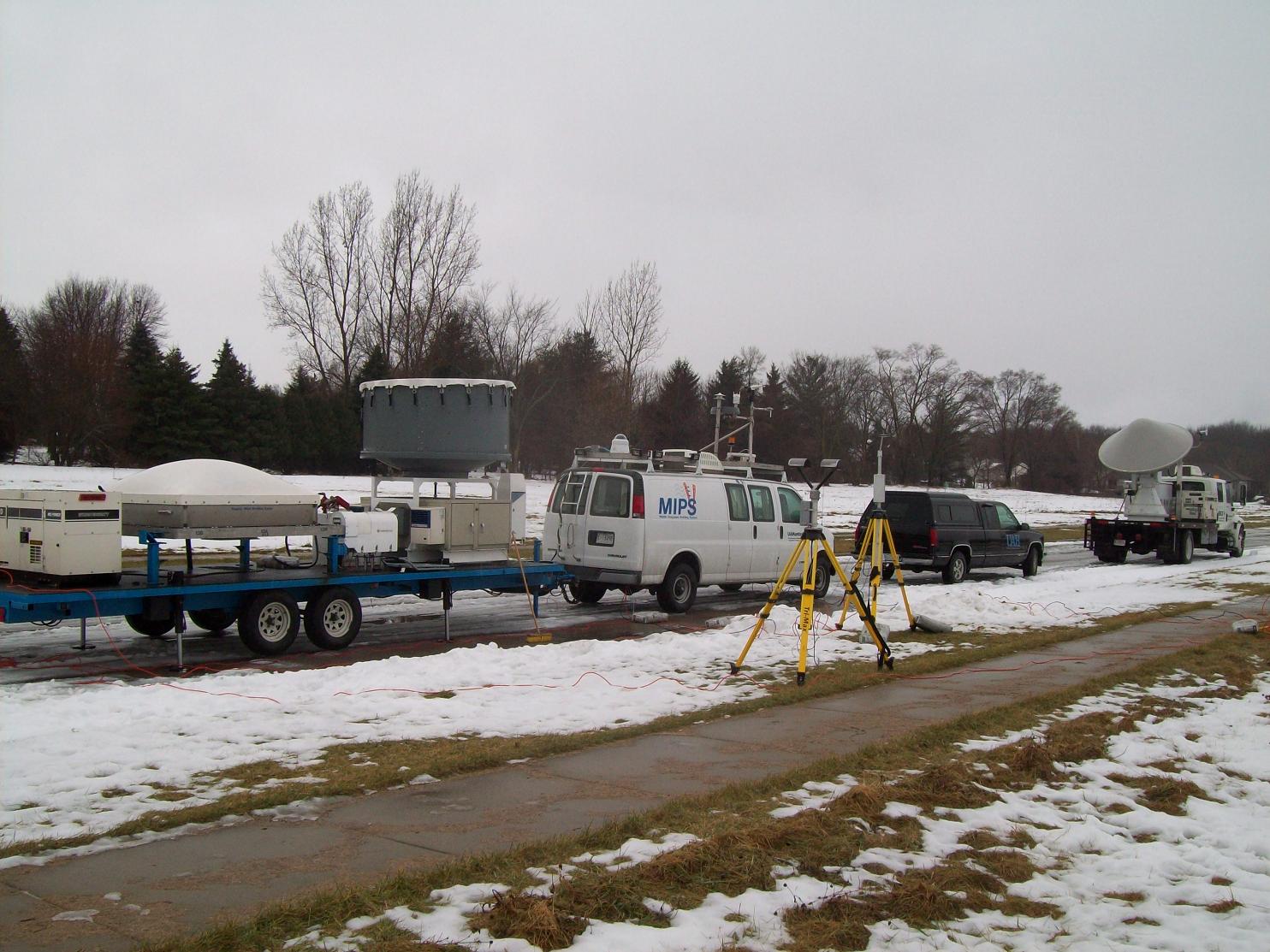
One of the first iterations of MIPS deployed for the PlOWS campaign 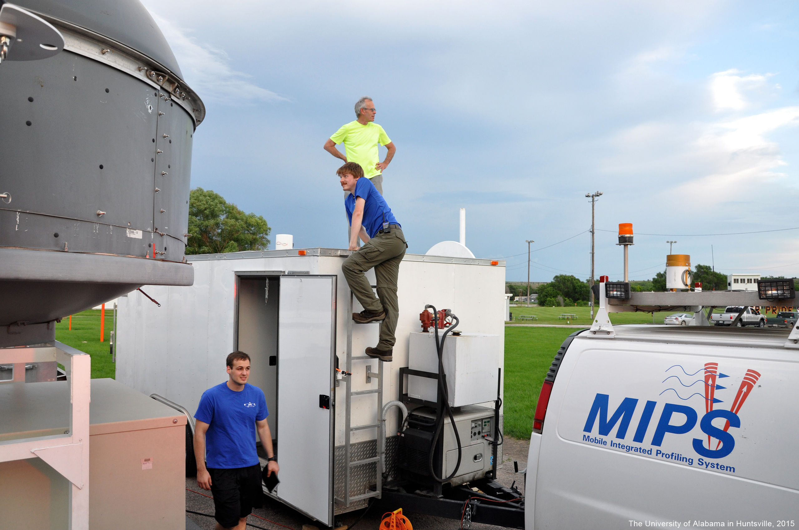
The MoDLS Doppler lidar operating during the PECAN project. 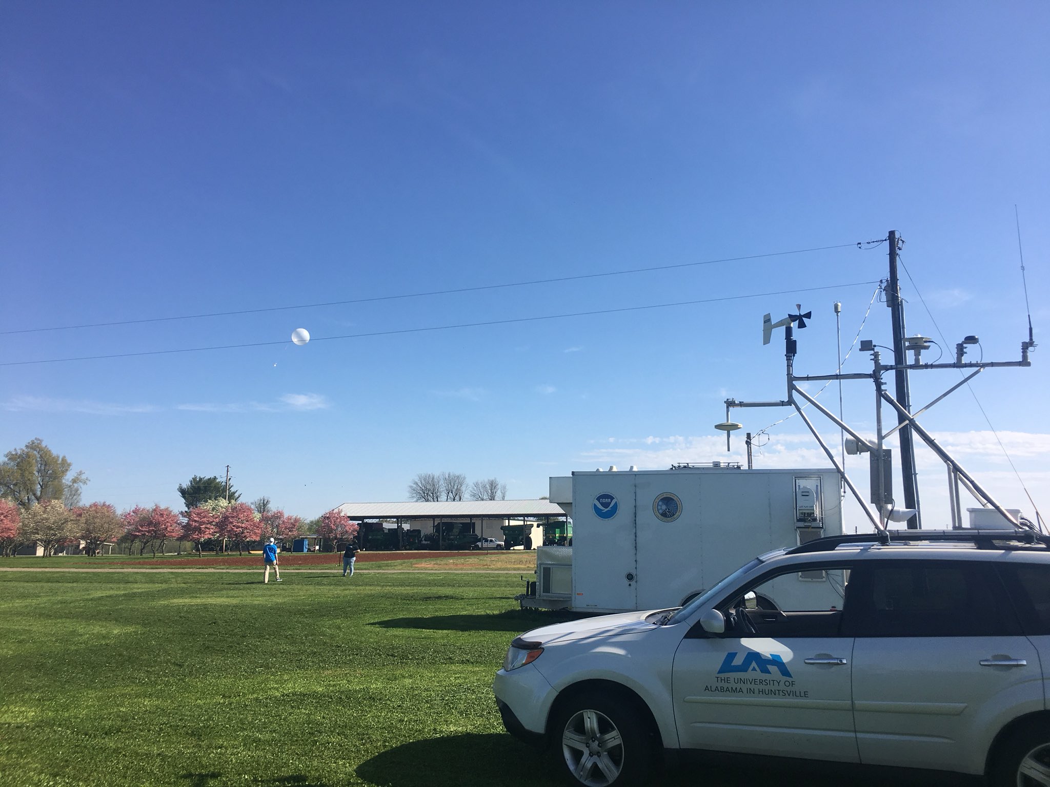
The Meteorological Mobile Mesonet (M3V) was deployed to launch radiosonde soundings at the NSSL CLAMPS site during a clear-air boundary layer study. 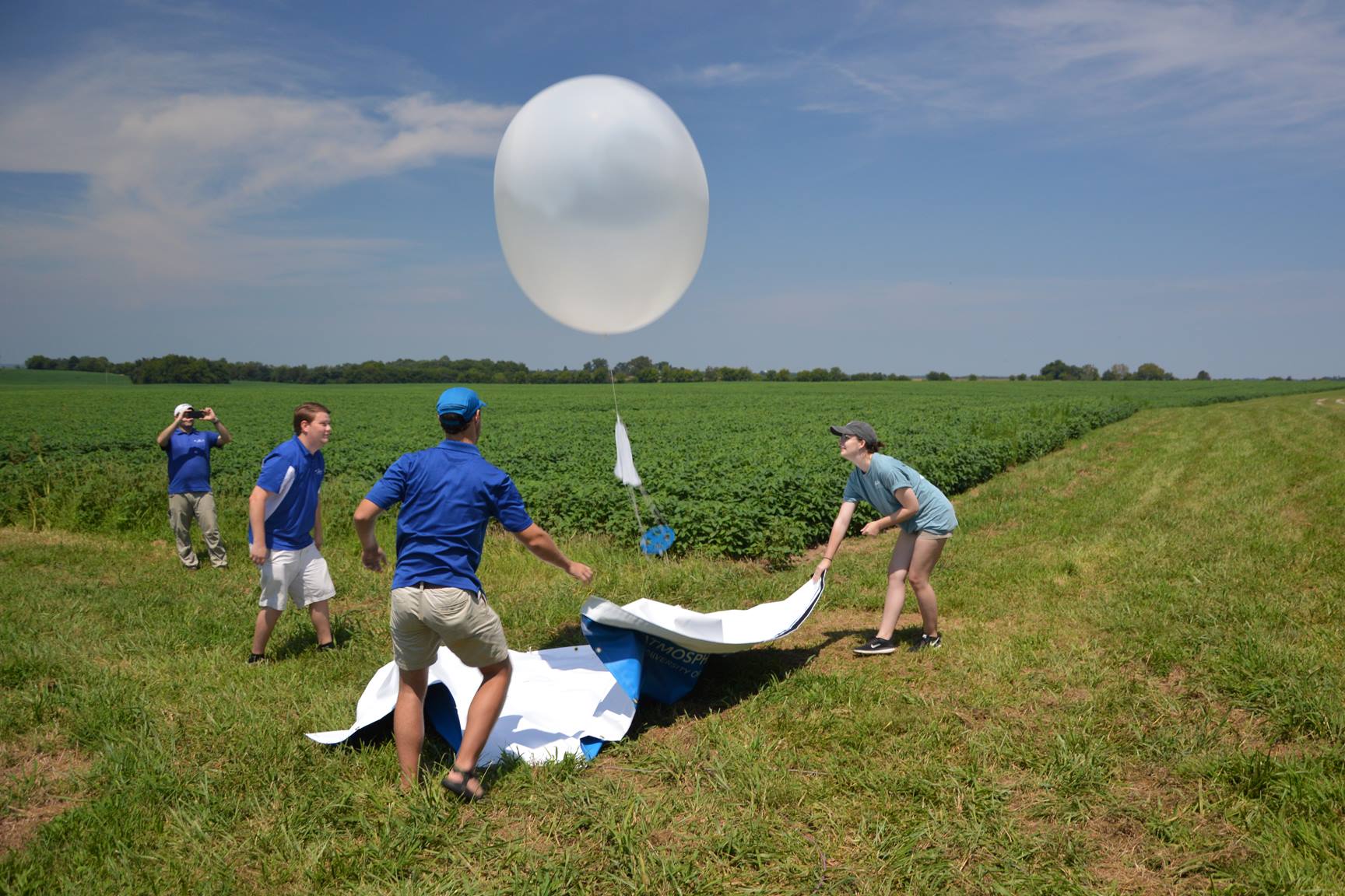
UAH traveled to Kentucky to collect data during the solar eclipse of 2017. Pictured is the MIPS team launching a sounding prior to the eclipse. 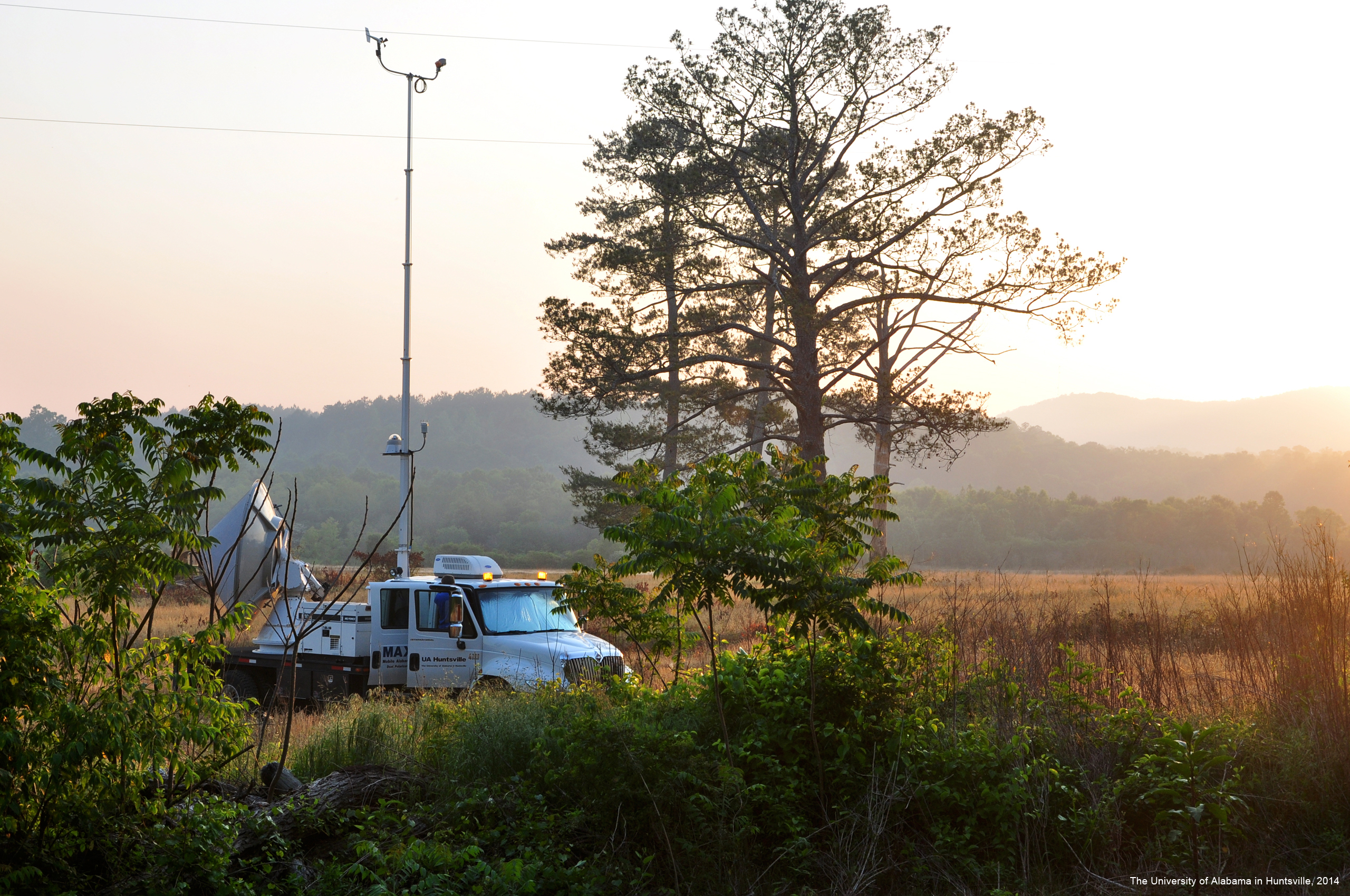
MAX was used to scan smoke plumes during a prescribed burn in the Talladega National Forest. 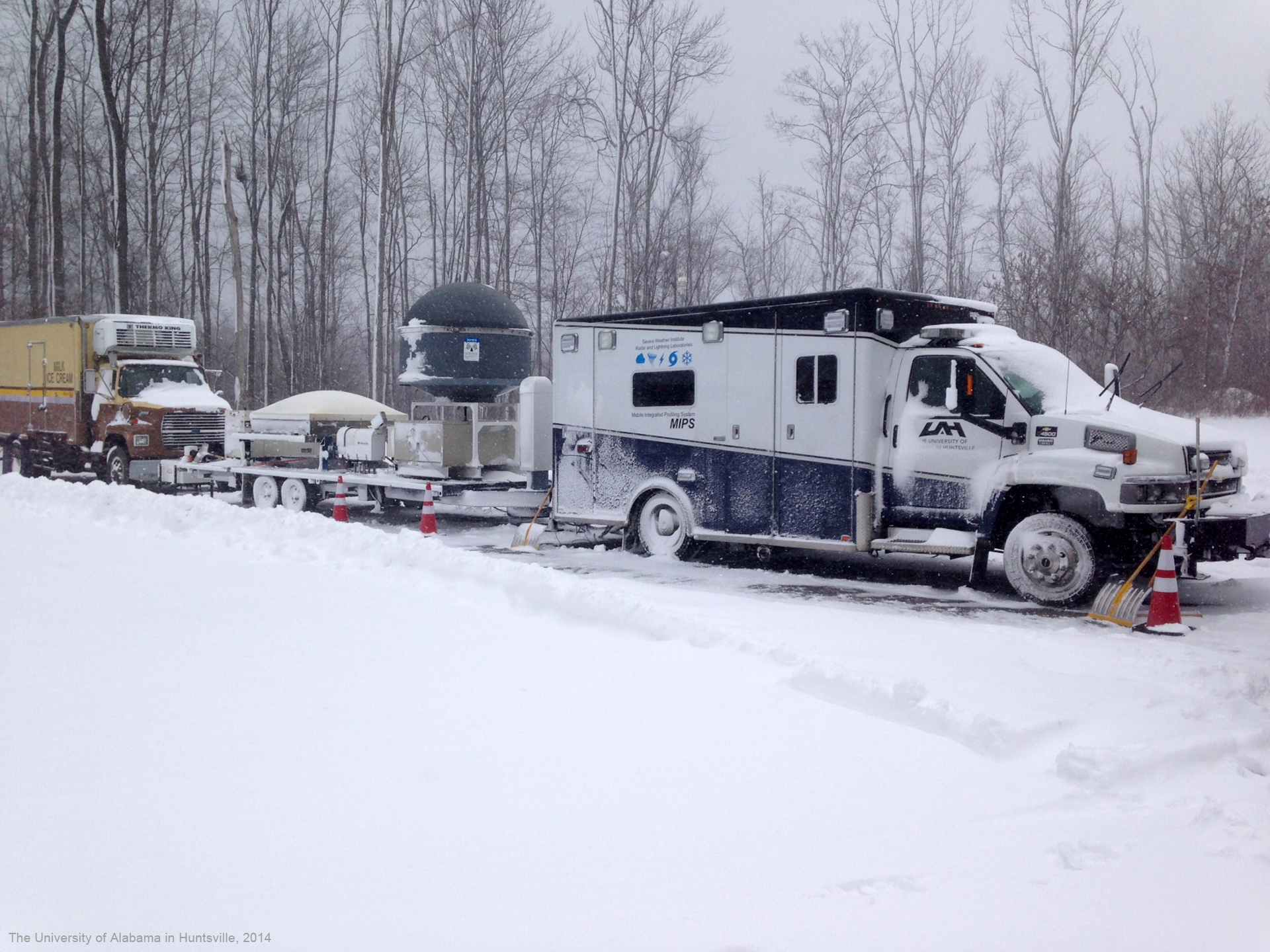
MIPS deployed for the OWLeS Project. 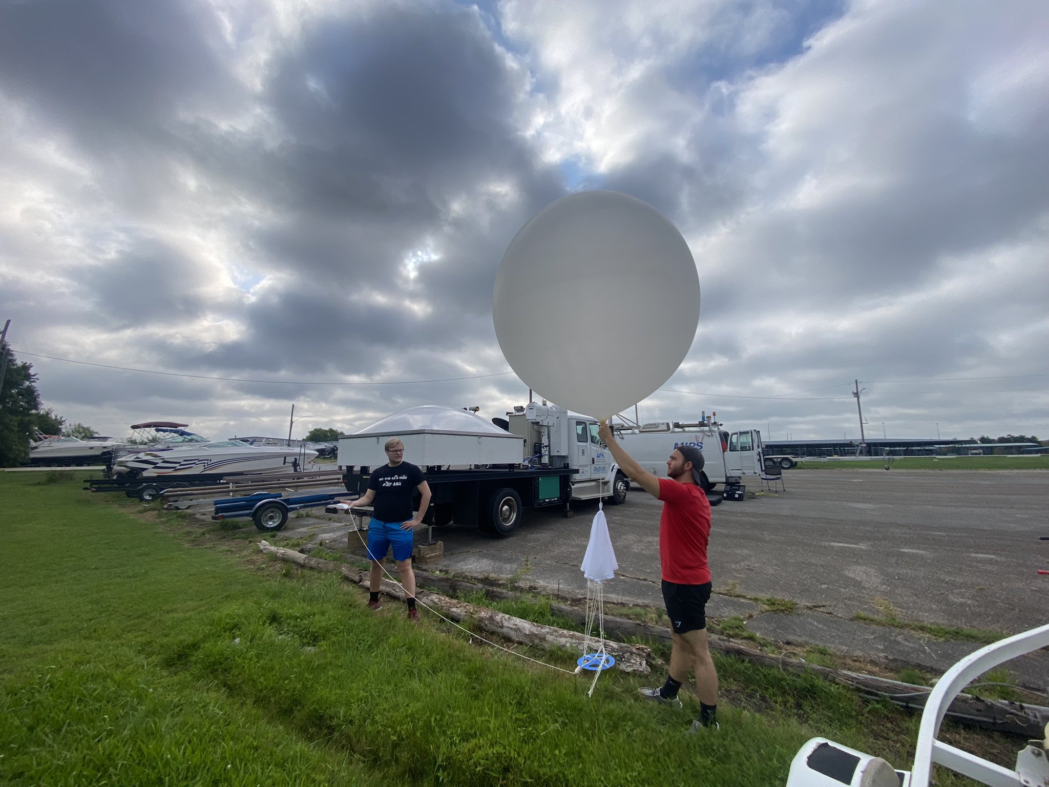
The MAPNet faciltiies were used for a local educational lake-breeze experiement with NSF REU students. 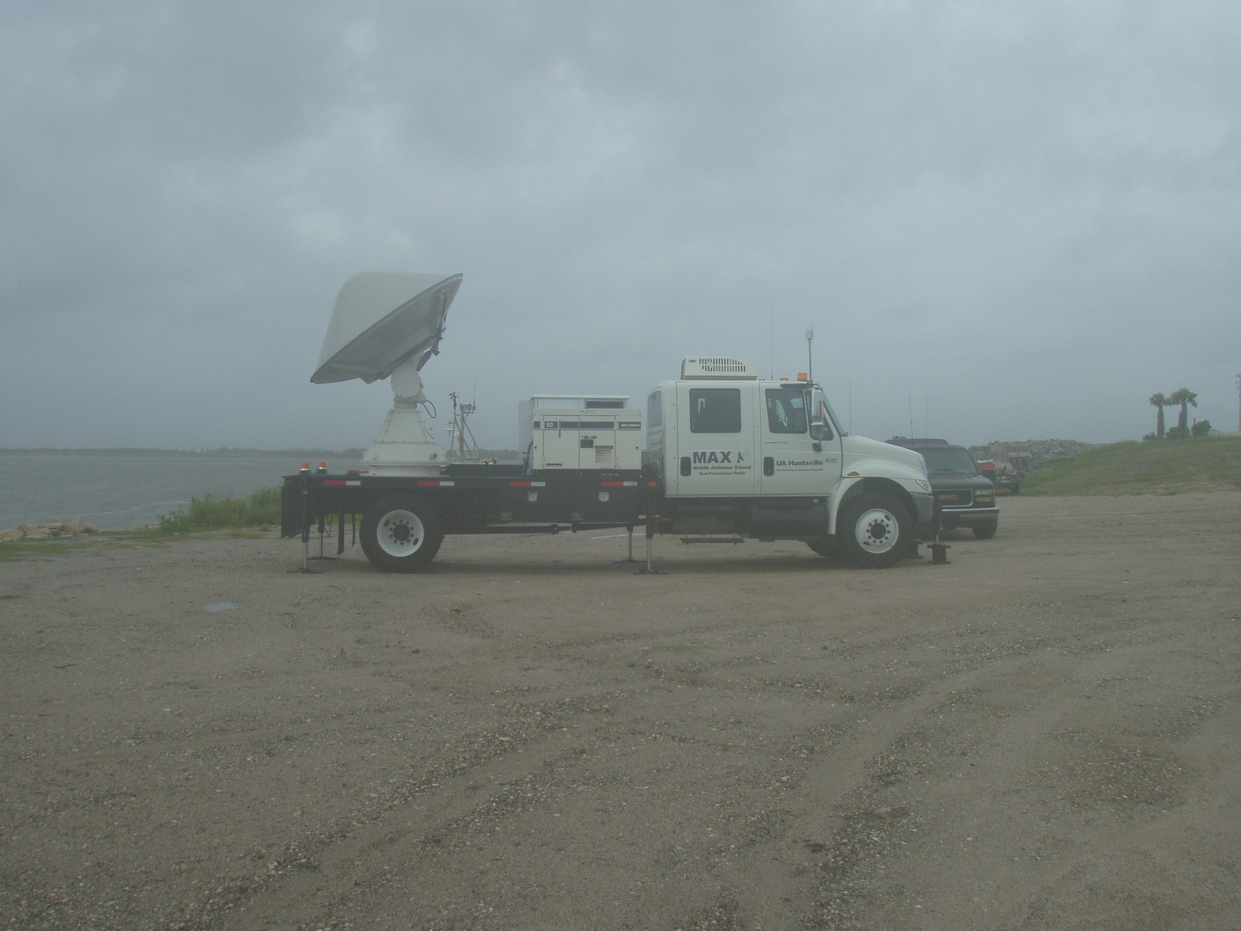
MAX and MIPS were deployed to Jacksonville, FL for the landfall of Hurricane Fay in 2008. |
