"Newly funded NSF project will move UAH mobile atmospheric instruments to the forefront." Read more
3 / 3
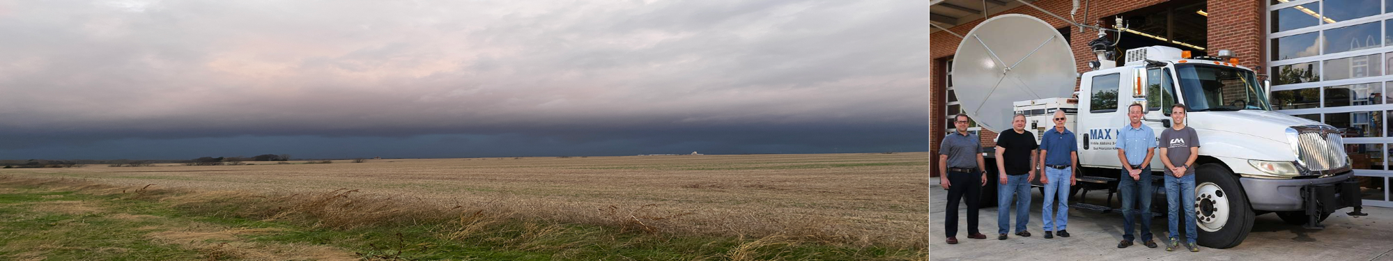
"College research teams deployed to Central Mississippi to study tornado genesis" Read more
MAPNet - Mobile Atmospheric Profiling Network
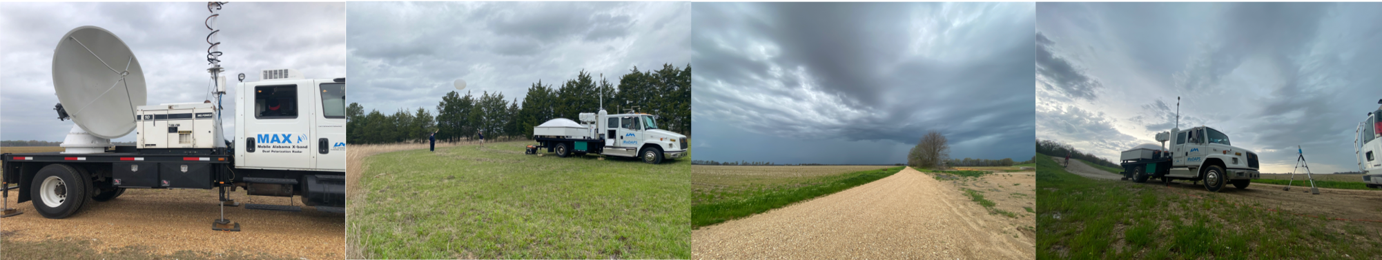
MAPNet is a National Science Foundation (NSF) funded requestable facility that is part of the Community Instrument and Facility (CIF) suite. MAPNet is designed to provide measurements of wind, thermodynamics, cloudbase/aerosol, and precipitation profiles within the boundary layer to middle troposphere in all weather conditions. Three profiling platforms and one scanning X-band radar are available for use. In the past, MAPNet facilities have been used to study topics from severe thunderstorms, winter weather, hurricanes, and air quality studies.
Facilities
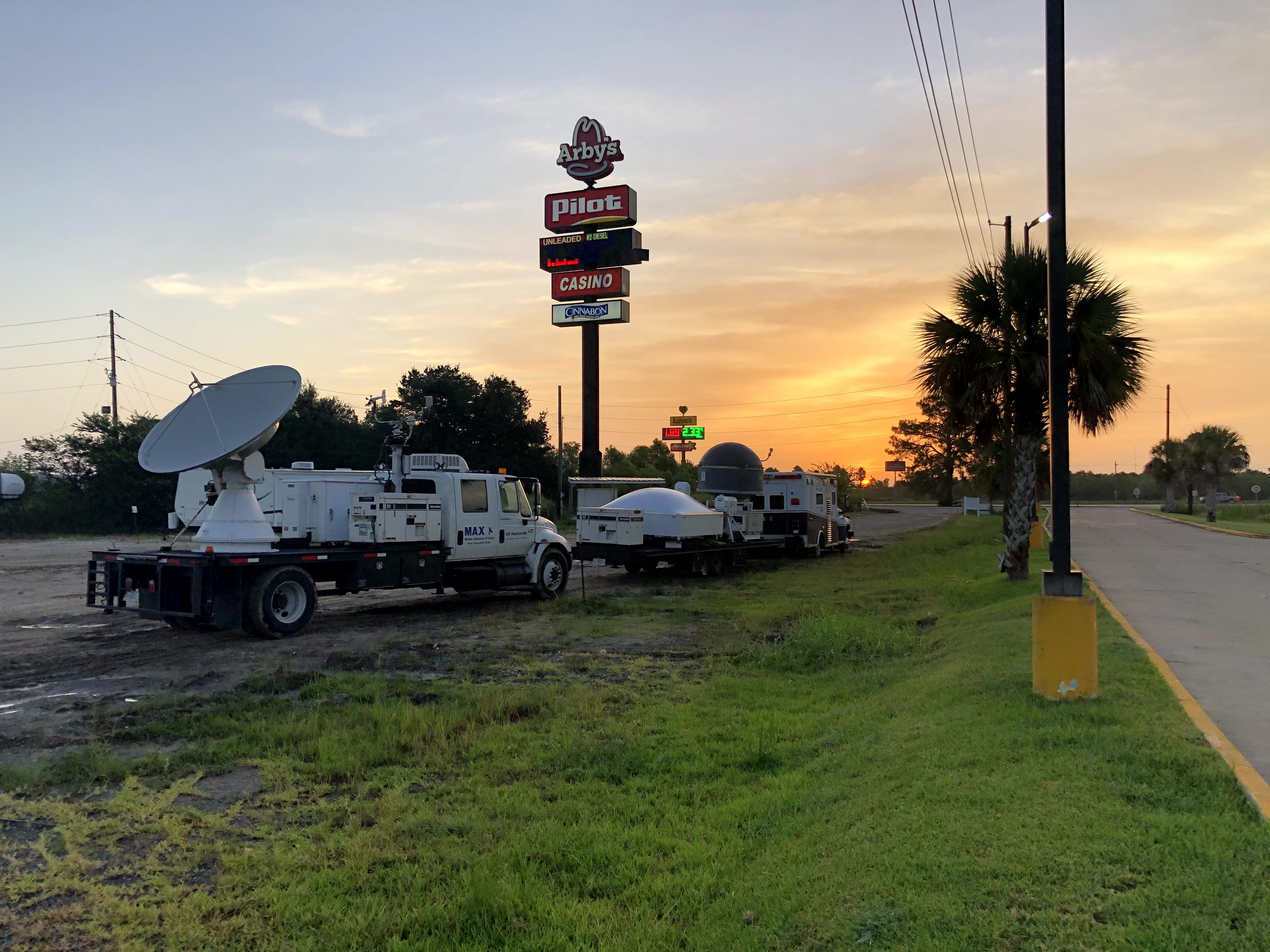
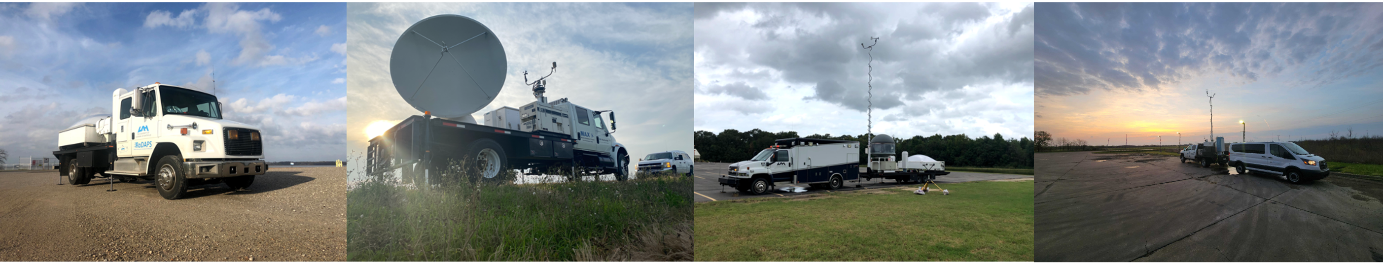
Four main platforms that house many different profiling instruments make up the MAPNet facilities. These mobile platforms can be deployed rapidly and be used for many areas of research.
Research
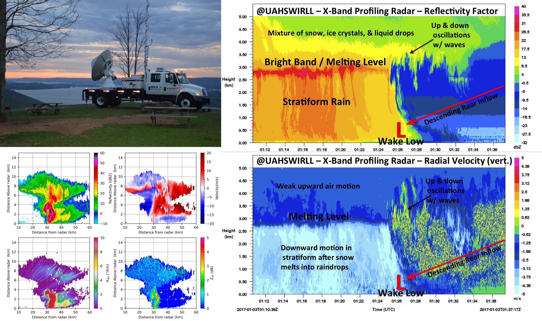
The MAPNet profiling facilities have been used over the past 20 years in several field campaigns that have focused on convective initiation, severe weather, winter storms, and boundary layer studies.
Education & Outreach
The MAPNet platforms have been instrumental in many outreach and education activities from conferences to K-12 education designed to educate young students and others about STEM fields and experimental research.