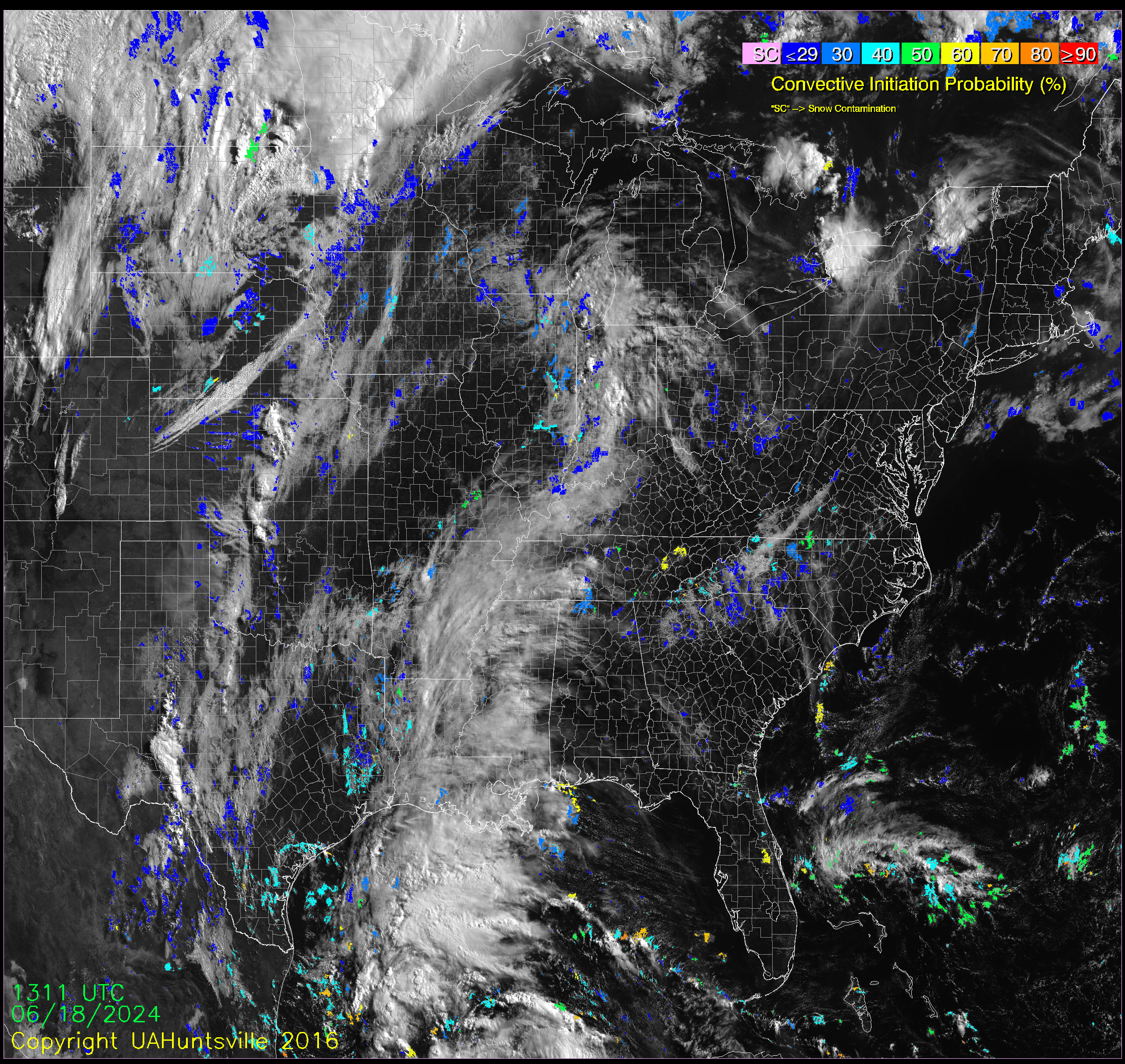

GOES East
The GOES-R UAH CI (SATCAST) algorithm is running normal operations. Please check back for updates and for information on upgrades and changes. If you would like more information on the product, or would like to be added to our user distribution list, please contact john.mecikalski (at) nsstc.uah.edu.
Regional loops
Choose a region to see its most recent images as an animation. The regions are arranged as they sit on the map.
 NorthwestNorthern Great Plains
 North CentralUpper Midwest and western Great Lakes
 NortheastEastern Great Lakes and Northeast
 MidwestCentral Great Plains
 Mid-CentralMiddle Mississippi Valley
 MideastOhio Valley and Mid-Atlantic
 SouthwestSouthern Great Plains and Texas
 South CentralLower Mississippi Valley and central Gulf Coast
 SoutheastSoutheast and Florida
Full domain