|
This site serves as a gateway for obtaining satellite data to be utilized in air quality modeling practices. It specifically targets the needs of regulatory community by providing tools and documentation necessary for incorporating satellite data into EPA's WRF/MM5/CMAQ air quality modeling system. CMAQ is routinely used in the State Implementation Plan (SIP) modeling practices in which emission-reduction strategies are defined to reduce air pollution concentrations to levels that meet the National Ambient Air Quality Standards (NAAQS).
The Nation's air-pollution control program under the Clean Air Act is built around the development of SIPs. States usually identify time periods called "design days" in which observed air-quality levels exceed the NAAQS by the largest margins. These periods are used to test whether sets of emission reductions will concomitantly reduce ambient air-quality levels to meet the NAAQS. In practice these periods are modeled in a retrospective manner. The process begins with a demonstration that the models are able to replicate the design day by reasonably simulating the observed air-pollution levels. Since nationally tens of billions of dollars in emission controls depend on this modeling process, the quality and accuracy of retrospective baseline simulation in which proposed emission reductions are tested is critical to determining efficient cost effective strategies for attaining the NAAQS. The satellite data and tools obtained from this site will help to improve the physical atmosphere in which emission reduction scenarios are evaluated.
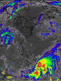
The links from this page provide access to data products from Geostationary Operational Environmental Satellite (GOES) and from Moderate Resolution Imaging Spectroradiometer (MODIS). GOES products comprise short wave radiation incident at the surface (insolation), surface albedo, skin temperature, cloud top albedo and pressure. Surface insolation and skin temperature are crucial in the boundary layer development (McNider et al., 1994, 1995, 2005), while clouds affect many aspects of transport and transformation of pollutants in the atmosphere including significantly altering the solar radiation in the wavelengths affecting the photolysis rates and thereby impacting the photochemistry considerably (Biazar et al., 2007; McNider et al., 1998). The users of this site can also download the necessary tools and detailed documentation for the utilization of these data in CMAQ modeling system.
|