Tropical Storm Gabrielle
(HaL)
Venice, FL
September 14, 2001
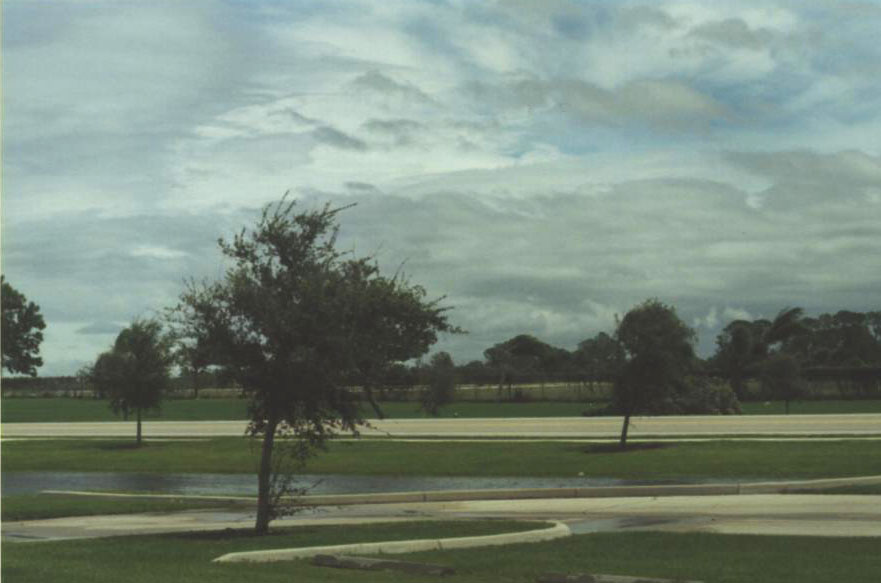
For the landfall of Tropical Storm Gabrielle we setup near the Venice Municipal Airport.
(Click on the images for a larger view)
Pictures
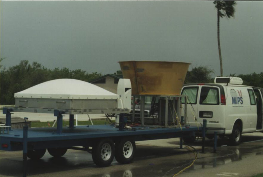
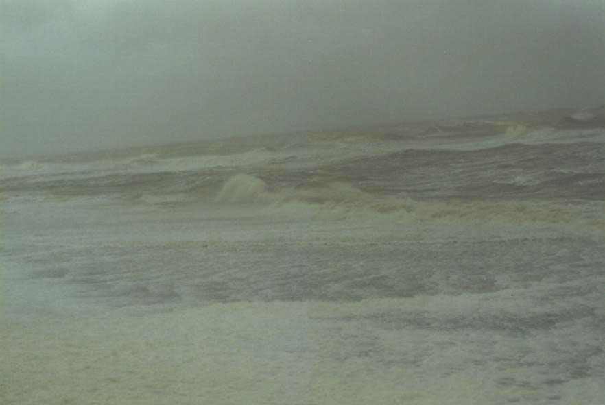
The landfall of Tropical Storm Gabrielle was documented with the UAH Mobile Integrated Profiling System (MIPS) and WSR-88D from Tampa during the early morning hours of 14 September 2001 near Venice, FL. The analysis includes data from the MIPS 915 MHz Doppler profiler, a Doppler sodar, a lidar ceilometer, surface measurements at 1 Hz frequency, and electric field mill measurements. The storm core, including deep convection and the "eye", passed directly over the MIPS, which was located 100 m from the shore line. Vertical wind profiles and turbulence within the boundary layer exhibited a highly contrasting behavior from the storm front (fetch off of land) to the rear (fetch directly off the water). Preliminary analyses reveal that this storm was quite convective, as indicated by high values of turbulence (as measured by the 915 MHz profiler) and relatively frequent cloud-to-ground (CG) lightning. The electric field mill measurements were persistently high and variable during Gabrielle's passage over the MIPS. In this paper, we synthesize the WSR-88D, CG lightning, electric field mill and 915 measurements at vertical incidence to quantify relationships among (embedded) deep convection, variations in electric field, and the location of lightning (CG and intracloud) with respect to mesoscale features within the storm.
Instrumentation used was 915 Profiler, Ceilometer, EFM, SFC
(Note: The images below have not been quality controlled)
9/14/2001
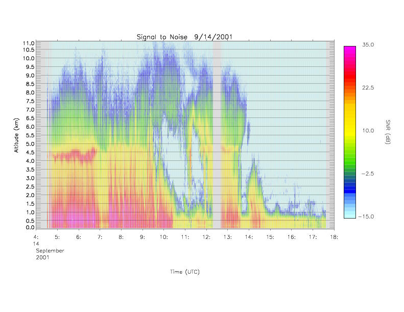
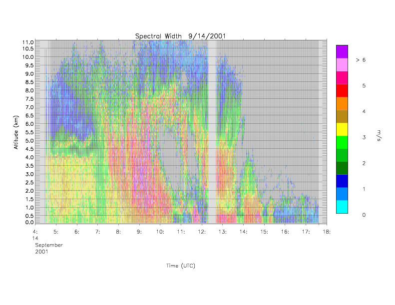
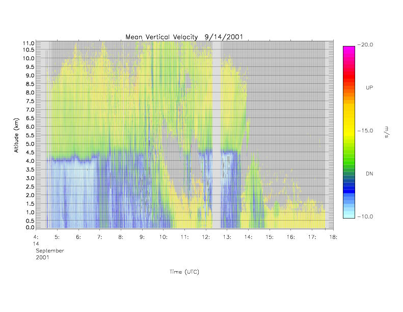
915 Profiler
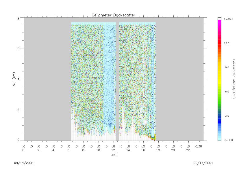
Ceilometer